2024 Map of Jay
USGS Topo · Published 2024About this map
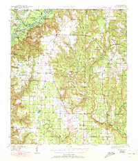
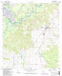
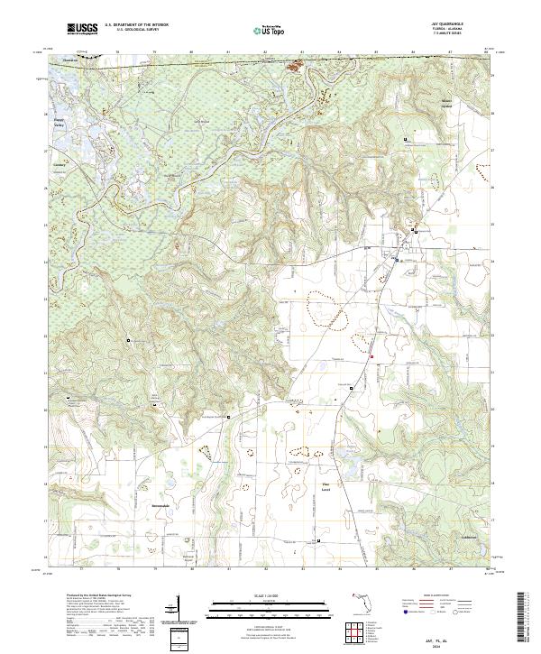
Jay, Florida, serves as the central hub of this northern Santa Rosa County landscape, where the agricultural uplands meet the dense riverine network of the Escambia River. The survey reveals a region defined by its watercourses and family heritage, with numerous burial sites like Concord Cem and Cannon Cem marking the rural sections. To the west, the river system creates a complex geography of secondary channels and oxbows, including Government Dead Lake, Jernigan Dead River, and Turtle Cove Lake.
Find a feature on this map
144 named features on this map. Tap any name to fly to it.
Don’t see what you’re looking for? This feature index may not catch every label — zoom into the map to look around manually.
Map Details
Editions of this 2024 Jay Map
This is the sole edition of this map. No revisions or reprints were ever made.