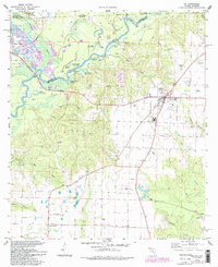
1978 Map of Jay
USGS Topo · Published 1993About this map
The Conecuh River and Escambia Creek converge near the border of Florida and Alabama, framing a landscape defined by industrial expansion and rural crossroads during the late 1970s and 1980s. This survey highlights the significant footprint of the Jay Oil Field, which dominates the eastern portion of the sheet with numerous well sites and pipelines. The town of Jay serves as the central hub, supported by infrastructure like the Jay Airport and a radio tower, while smaller communities such as Cobbtown, Brownsdale, and Century anchor the surrounding timber and agricultural lands.
Find a feature on this map
58 named features on this map. Tap any name to fly to it.
Don’t see what you’re looking for? This feature index may not catch every label — zoom into the map to look around manually.
Map Details
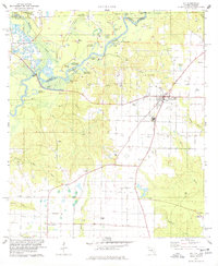
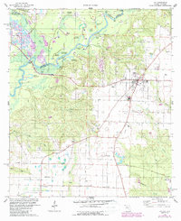
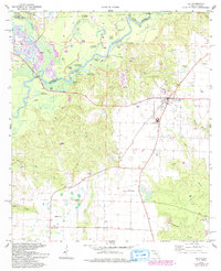
Editions of this 1978 Jay Map
4 editions found
Other maps of this area

1941 · Century
USGS Topo · 1:62,500

1943 · Century
USGS Topo · 1:62,500

1943 · Jay
USGS Topo · 1:62,500

1953 · Andalusia
USGS Topo · 1:250,000

1957 · Andalusia
USGS Topo · 1:250,000

1957 · Pensacola
USGS Topo · 1:250,000

1959 · Pensacola
USGS Topo · 1:250,000

1959 · Brewton South
USGS Topo · 1:24,000

1960 · Pensacola
USGS Topo · 1:250,000

1960 · Brewton South
USGS Topo · 1:24,000