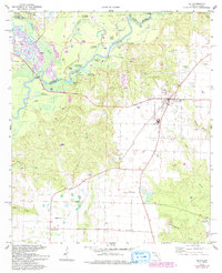
1978 Map of Jay
USGS Topo · Published 1993About this map
The Oil Field dominates the landscape around Jay and its surrounding communities during the late 1970s and early 1980s. This industrial layer is superimposed over a network of traditional rural settlements like Brownsdale and Cobbtown. To the west, the Escambia River and its convoluted system of oxbows, including Government Dead Lake and Ashton Dead River, define the boundary between Escambia and Santa Rosa counties. The presence of numerous wells, tanks, and pipelines interspersed with local landmarks like Concord Ch and Pine Level Ch reveals the era's economic transition, where energy extraction met established agricultural life. Further north, the Conecuh River flows toward the state line, carving through terrain marked by family-named features like Hutson Pond and Malloy Branch.
Find a feature on this map
52 named features on this map. Tap any name to fly to it.
Don’t see what you’re looking for? This feature index may not catch every label — zoom into the map to look around manually.
Map Details
Editions of this 1978 Jay Map
4 editions found
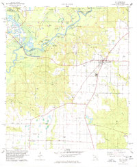
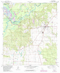
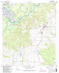
Other maps of this area

1941 · Century
USGS Topo · 1:62,500

1943 · Century
USGS Topo · 1:62,500

1943 · Jay
USGS Topo · 1:62,500

1953 · Andalusia
USGS Topo · 1:250,000

1957 · Andalusia
USGS Topo · 1:250,000

1957 · Pensacola
USGS Topo · 1:250,000

1959 · Pensacola
USGS Topo · 1:250,000

1959 · Brewton South
USGS Topo · 1:24,000

1960 · Pensacola
USGS Topo · 1:250,000

1960 · Brewton South
USGS Topo · 1:24,000