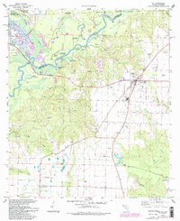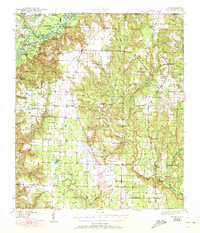
1943 Map of Jay
USGS Topo · Published 1950About this map
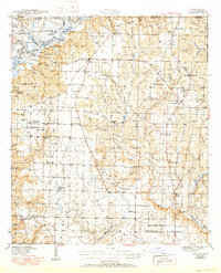
The Escambia River defines the western edge of this territory along the Alabama-Florida border, where a complex network of backwaters and sloughs like Government Dead River and Campbell Dead River weave through the river bottom. To the east, the landscape transitions into upland pine woods and agricultural plots centered on the town of Jay. This era reveals a rural society built around small community hubs, each anchored by its own school or church. Distinctive settlements such as New York, Berrydale, and Chumuckla appear alongside numerous namesake landmarks like Smith Mill Pond and Bray Mill Creek. Researchers can trace the lineage of the region through dozens of local institutions, from the Old Fidelis Cem and Catawba Fidelis Sch to the Primitive Baptist Ch, mapping the spiritual and educational footprint of Santa Rosa County during the early 1940s.
Find a feature on this map
70 named features on this map. Tap any name to fly to it.
Don’t see what you’re looking for? This feature index may not catch every label — zoom into the map to look around manually.
Map Details
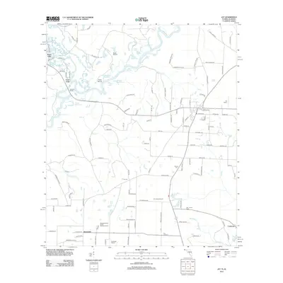
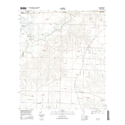
Editions of this 1943 Jay Map
4 editions found

Historical Maps of Century Through Time
7 maps found