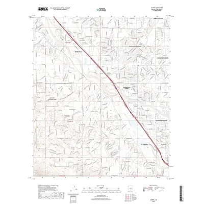
2018 Map of Jaynes
USGS Topo · Published 2018About this map
Saguaro National Park anchors the western edge of this 2018 survey, where the rugged terrain of the Tucson Mountains meets the expanding residential and commercial corridors of the northwest Tucson valley. The Santa Cruz River corridor serves as a central artery for the landscape, flanked by the communities of Cortaro, Marana, and Kino. The map reveals a high density of modern infrastructure, including the Pima Community College - Northwest Campus and the industrial and rail-adjacent zones around Stockham and Jaynes.
Find a feature on this map
66 named features on this map. Tap any name to fly to it.
Don’t see what you’re looking for? This feature index may not catch every label — zoom into the map to look around manually.
Map Details
Editions of this 2018 Jaynes Map
This is the sole edition of this map. No revisions or reprints were ever made.
Other maps of this area

1904 · Tucson
USGS Topo · 1:125,000

1905 · Tucson
USGS Topo · 1:125,000

1925 · San Xavier
USGS Topo · 1:62,500

1934 · Tucson Mountains
USGS Topo · 1:125,000

1943 · San Xavier Mission
USGS Topo · 1:62,500

1947 · Cortaro
USGS Topo · 1:62,500

1948 · Tucson
USGS Topo · 1:62,500

1956 · Tucson
USGS Topo · 1:250,000

1957 · San Xavier Mission
USGS Topo · 1:62,500

1957 · Tucson
USGS Topo · 1:24,000