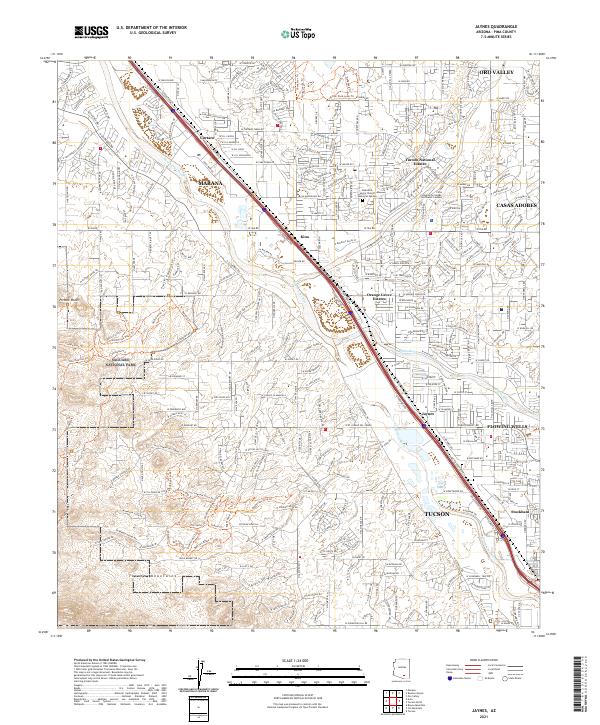
2021 Map of Jaynes
USGS Topo · Published 2021About this map
The Santa Cruz River and Rillito River dominate this modern landscape, tracing the paths of natural drainage through the desert valley as it meets the urban expansion of Tucson. This map documents a complex network of residential developments and established communities such as Oro Valley, Casas Adobes, and Marana. To the west, the rugged elevations of the Tucson Mountains rise sharply, with large portions preserved within Saguaro National Park. The survey illustrates the high density of modern infrastructure, from the Pima Community College Northwest Campus to specialized local landmarks like the Beautiful Savior Church Memorial Garden. The historical settlements of Cortaro, Jaynes, and Stockham are integrated into the contemporary street grid, serving as markers of the area's growth from early ranching and rail stops into the suburban expansion of the twenty-first century.
Find a feature on this map
82 named features on this map. Tap any name to fly to it.
Don’t see what you’re looking for? This feature index may not catch every label — zoom into the map to look around manually.
Map Details
Editions of this 2021 Jaynes Map
This is the sole edition of this map. No revisions or reprints were ever made.
Other maps of this area

1904 · Tucson
USGS Topo · 1:125,000

1905 · Tucson
USGS Topo · 1:125,000

1925 · San Xavier
USGS Topo · 1:62,500

1934 · Tucson Mountains
USGS Topo · 1:125,000

1943 · San Xavier Mission
USGS Topo · 1:62,500

1947 · Cortaro
USGS Topo · 1:62,500

1948 · Tucson
USGS Topo · 1:62,500

1956 · Tucson
USGS Topo · 1:250,000

1957 · San Xavier Mission
USGS Topo · 1:62,500

1957 · Tucson
USGS Topo · 1:24,000