2023 Map of Jefferson
USGS Topo · Published 2023About this map
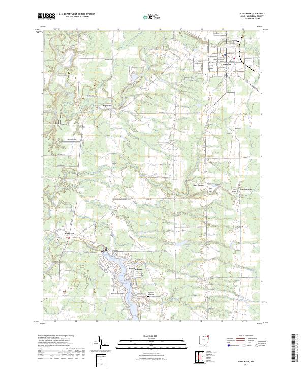
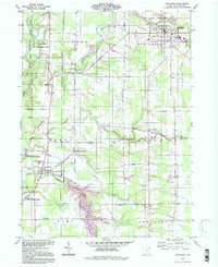
The Ashtabula County Courthouse serves as the focal point of Jefferson, anchoring a landscape where civic history meets the winding course of the Grand River. This modern survey reveals a region defined by its historic townships and water systems, from the residential clusters at Rock Creek to the recreational waters of Lake Roaming Rock. The map detail is particularly dense around the village of Jefferson, showing the established street grid including W Water St and Jefferson St.
Find a feature on this map
101 named features on this map. Tap any name to fly to it.
Don’t see what you’re looking for? This feature index may not catch every label — zoom into the map to look around manually.
Map Details
Editions of this 2023 Jefferson Map
This is the sole edition of this map. No revisions or reprints were ever made.
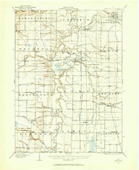
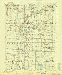
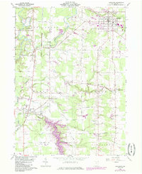
Historical Maps of Jefferson Township Through Time
5 maps found
Featured Locations
- Jefferson, OH
- Jefferson Township, OH
- Morgan Township, OH
- Roaming Shores, Morgan Township
- Morgan, Rock Creek