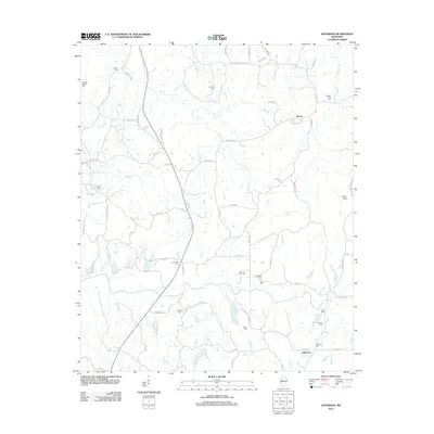
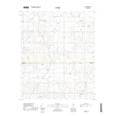
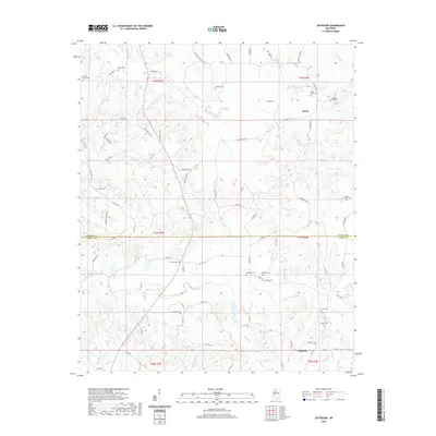
1983 Map of Jefferson
USGS Topo · Published 1983About this map
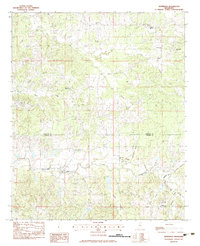
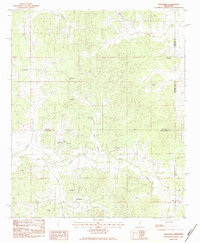
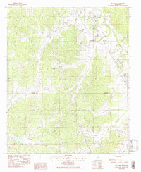
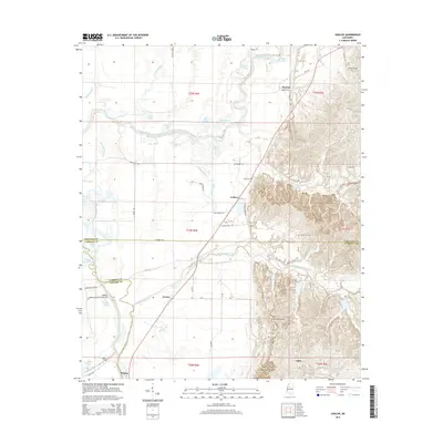
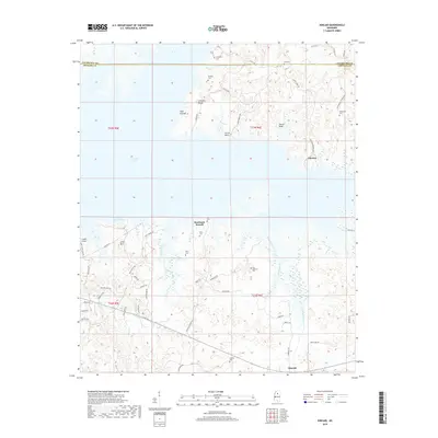
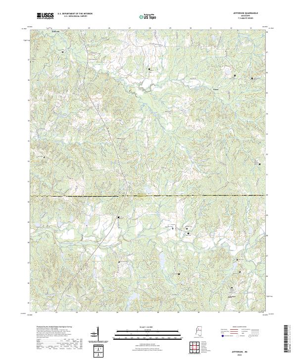
Jefferson and Nason anchor this rural landscape in the early 1980s, situated along the border of Grenada Co and Carroll Co. The terrain is defined by a dense network of waterways, with Potacocowa Creek and its many tributaries, including Greasy Creek and Dubard Branch, winding through the countryside. This survey is particularly valuable for genealogists, as it meticulously identifies numerous small family and community burial grounds such as Franklin Cem, Emmons Cem, and Bledsoe Cem. The social fabric of the era is evidenced by scattered country churches including Hillside Ch, Liberty Ch, and Ebenezer Ch. The map illustrates a transitional period where established rural communities remained centered around these spiritual and communal landmarks even as agricultural patterns and land use shifted across the Mississippi hills.
Find a feature on this map
33 named features on this map. Tap any name to fly to it.
Don’t see what you’re looking for? This feature index may not catch every label — zoom into the map to look around manually.
Map Details
Editions of this 1983 Jefferson Map
This is the sole edition of this map. No revisions or reprints were ever made.
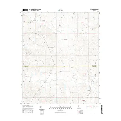
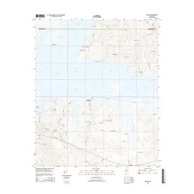
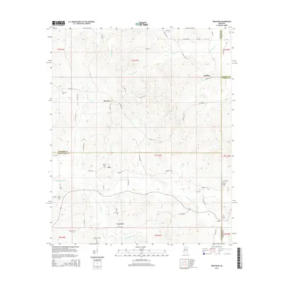
Historical Maps of Jefferson Through Time
37 maps found
1974 Greenwood NE
Grenada County, MS
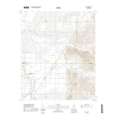
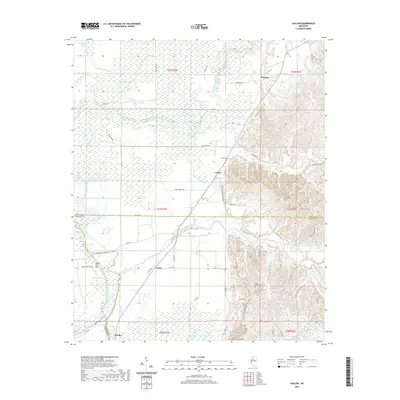
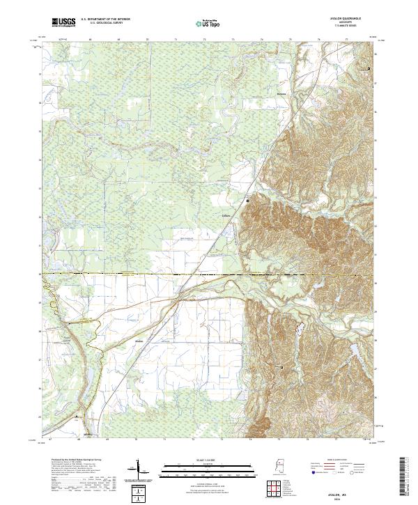
1982 Avalon
Grenada County, MS
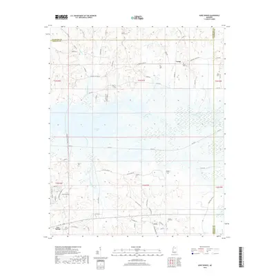
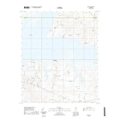
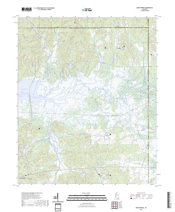
1983 Gore Springs
Grenada County, MS
1983 Jefferson
Grenada County, MS

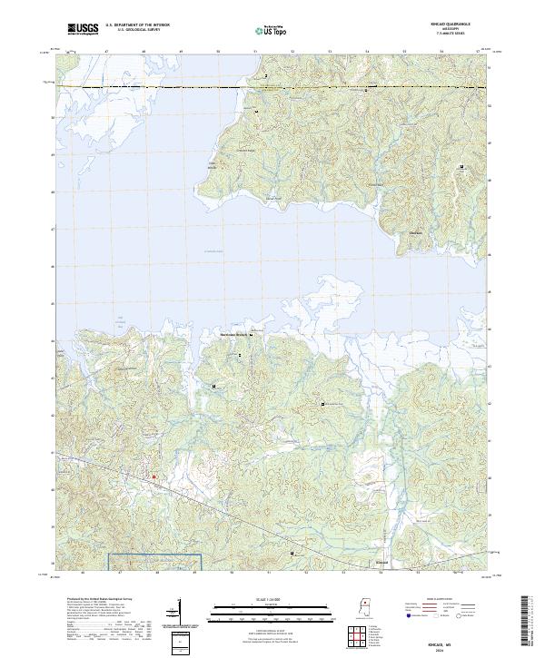
1983 Kincaid
Grenada County, MS
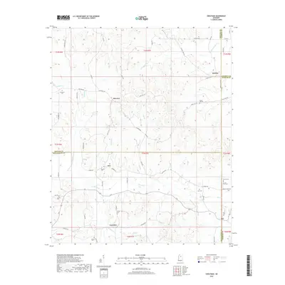
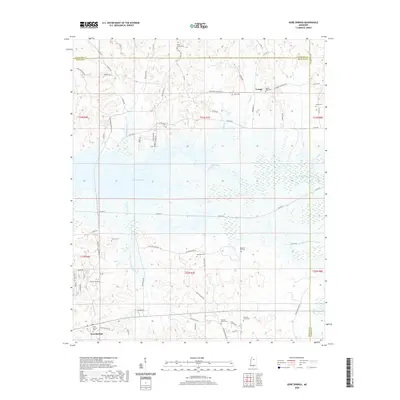
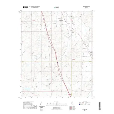
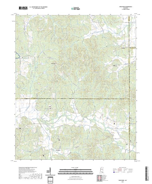
1983 Sweatman
Grenada County, MS
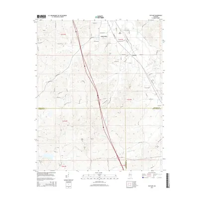
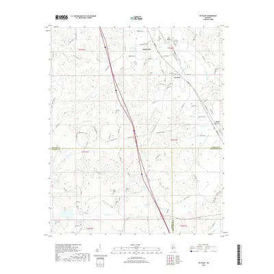
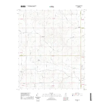
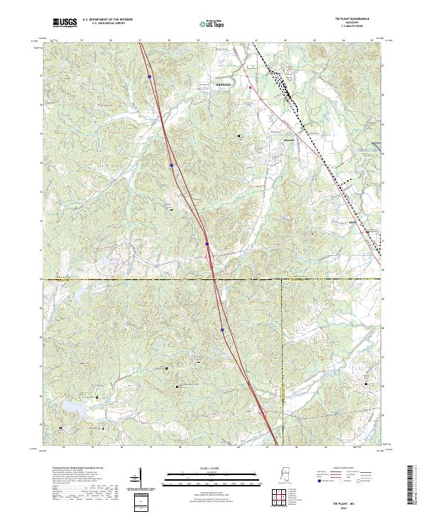
1983 Tie Plant
Grenada County, MS
2012 Avalon
Grenada County, MS
2012 Gore Springs
Grenada County, MS
2012 Jefferson
Grenada County, MS
2012 Kincaid
Grenada County, MS
2012 Sweatman
Grenada County, MS
2012 Tie Plant
Grenada County, MS
2015 Avalon
Grenada County, MS

2015 Gore Springs
Grenada County, MS
2015 Jefferson
Grenada County, MS
2015 Kincaid
Grenada County, MS
2015 Sweatman
Grenada County, MS
2015 Tie Plant
Grenada County, MS
2018 Avalon
Grenada County, MS
2018 Gore Springs
Grenada County, MS
2018 Jefferson
Grenada County, MS
2018 Kincaid
Grenada County, MS
2018 Sweatman
Grenada County, MS
2018 Tie Plant
Grenada County, MS
2020 Avalon
Grenada County, MS
2020 Gore Springs
Grenada County, MS
2020 Jefferson
Grenada County, MS
2020 Kincaid
Grenada County, MS
2020 Sweatman
Grenada County, MS
2020 Tie Plant
Grenada County, MS
2024 Avalon
Grenada County, MS
2024 Gore Springs
Grenada County, MS
2024 Jefferson
Grenada County, MS
2024 Kincaid
Grenada County, MS
2024 Sweatman
Grenada County, MS
2024 Tie Plant
Grenada County, MS