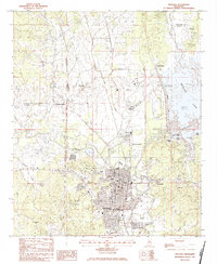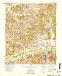
1954 Map of Grenada
USGS Topo · Published 1954About this map
The Yalobusha River valley underwent a profound transformation in the mid-1950s following the completion of the Grenada Dam. This survey documents the landscape as Grenada Lake began to fill, with high-water markings at Ceder Point and the Grenada Ldg. area. South of the city of Grenada, small railroad settlements like Dubard and Holcomb appear along the Illinois Central tracks, while the rural uplands are dotted with integrated community centers such as Oakland Hill Sch & Ch and Jehovah Ch Sch & Cem. The presence of numerous combined school and church sites, including Jackson Sch & Chapel and Tallabusha Sch & Ch, illustrates the era's pattern of localized social life organized around rural congregations and schoolhouses. North of the river, Hardy Station and Tillatoba serve as primary points of orientation in a landscape characterized by family-named terrain like Simmons Creek and Barksdale Cem.
Find a feature on this map
81 named features on this map. Tap any name to fly to it.
Don’t see what you’re looking for? This feature index may not catch every label — zoom into the map to look around manually.
Map Details
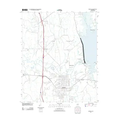
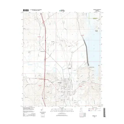
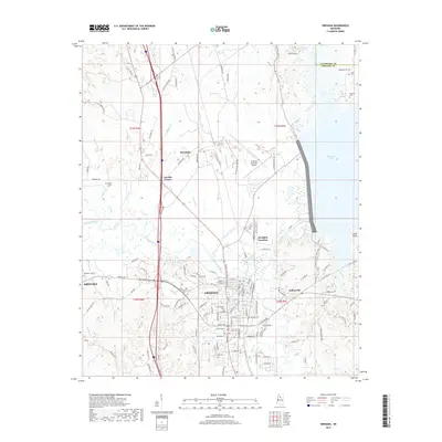
Editions of this 1954 Grenada Map
2 editions found
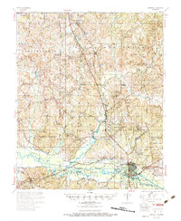
Historical Maps of Grenada Through Time
8 maps found