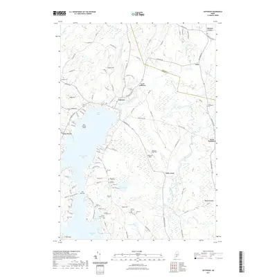
2021 Map of Jefferson
USGS Topo · Published 2021About this map
Jefferson serves as a central hub for this portion of Lincoln County, where the West Branch Davis Stream meets the northern reaches of Damariscotta Lake. The landscape is characterized by a dense concentration of family cemeteries, such as the Joshua Moody Cem, Francis Jones Cem, and Eliphalet Jones Cem, offering significant data for genealogical research into the area's early settlers. These small burial plots are scattered among the ridges and hills, including Haskell Hill and Eugley Hill.
Find a feature on this map
106 named features on this map. Tap any name to fly to it.
Don’t see what you’re looking for? This feature index may not catch every label — zoom into the map to look around manually.
Map Details
Editions of this 2021 Jefferson Map
This is the sole edition of this map. No revisions or reprints were ever made.
Other maps of this area

1893 · Vassalboro
USGS Topo · 1:62,500

1893 · Wiscasset
USGS Topo · 1:62,500

1898 · Vassalboro
USGS Topo · 1:62,500

1913 · Waldoboro
USGS Topo · 1:48,000

1915 · Waldoboro
USGS Topo · 1:62,500

1916 · Liberty
USGS Topo · 1:62,500

1941 · Waldoboro
USGS Topo · 1:62,500

1941 · Vassalboro
USGS Topo · 1:62,500

1942 · Liberty
USGS Topo · 1:62,500

1943 · Vassalboro
USGS Topo · 1:62,500