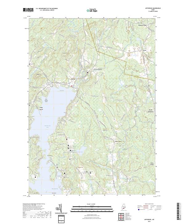
2024 Map of Jefferson
USGS Topo · Published 2024About this map
Jefferson sits at the heart of this coastal Maine interior, where the northern waters of Damariscotta Lake transition into a landscape defined by ridges and narrow stream valleys. The village of Jefferson and its neighbors at North Jefferson and Orffs Corner serve as focal points in a region deeply marked by family history and small-scale agriculture. The abundance of family burial grounds, such as the Moody Family Cem, Blackstone - Flagg Cem, and the Eliphalet Jones Cem, provides a detailed record of the families who settled these hills.
Find a feature on this map
116 named features on this map. Tap any name to fly to it.
Don’t see what you’re looking for? This feature index may not catch every label — zoom into the map to look around manually.
Map Details
Editions of this 2024 Jefferson Map
This is the sole edition of this map. No revisions or reprints were ever made.
Other maps of this area

1893 · Vassalboro
USGS Topo · 1:62,500

1893 · Wiscasset
USGS Topo · 1:62,500

1898 · Vassalboro
USGS Topo · 1:62,500

1913 · Waldoboro
USGS Topo · 1:48,000

1915 · Waldoboro
USGS Topo · 1:62,500

1916 · Liberty
USGS Topo · 1:62,500

1941 · Waldoboro
USGS Topo · 1:62,500

1941 · Vassalboro
USGS Topo · 1:62,500

1942 · Liberty
USGS Topo · 1:62,500

1943 · Vassalboro
USGS Topo · 1:62,500