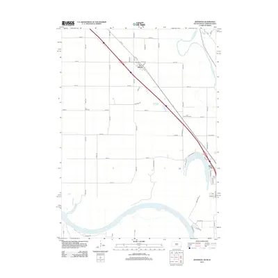
2012 Map of Jefferson
USGS Topo · Published 2012About this map
The town of Jefferson sits within a triangle of land shaped by the Big Sioux River to the east and the Missouri River to the south. This 2012 survey shows the community’s grid anchored by Main St, surrounded by the expansive agricultural plots and grid-roads typical of the tri-state border region. Local history is anchored at the Civil Bend Cem to the southwest, while more contemporary land use is evident at the Park Jefferson Racetrack along 332nd St. To the southeast, the residential developments surrounding McCook Lake represent a significant transition from the riverside bottomlands to established lakeside living. The landscape remains defined by its proximity to the water, with features like the Levee Trl and the winding course of the Missouri River along the southern edge illustrating the ongoing relationship between the settlement and its riparian environment.
Find a feature on this map
51 named features on this map. Tap any name to fly to it.
Don’t see what you’re looking for? This feature index may not catch every label — zoom into the map to look around manually.
Map Details
Editions of this 2012 Jefferson Map
This is the sole edition of this map. No revisions or reprints were ever made.
Other maps of this area

1898 · Elk Point
USGS Topo · 1:125,000

1901 · Elk Point
USGS Topo · 1:125,000

1907 · Elk Point
USGS Topo · 1:125,000

1955 · Sioux City
USGS Topo · 1:250,000

1958 · Sioux City
USGS Topo · 1:250,000

1959 · Sioux City
USGS Topo · 1:250,000

1963 · Elk Point
USGS Topo · 1:24,000

1963 · Sioux City South
USGS Topo · 1:24,000

1963 · Sioux City North
USGS Topo · 1:24,000

1963 · Elk Point NE
USGS Topo · 1:24,000