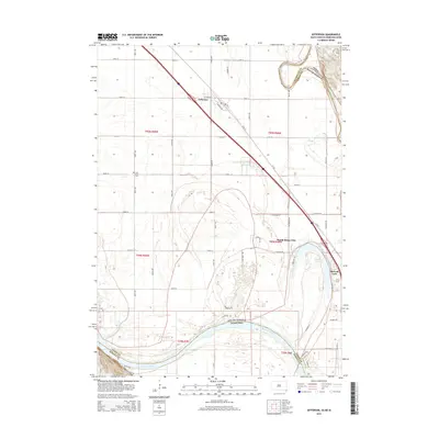
2015 Map of Jefferson
USGS Topo · Published 2015About this map
The Missouri River forms a wide, winding boundary at the intersection of South Dakota, Nebraska, and Iowa, shaping the lowlands of the tri-state area. The settlement of Jefferson sits along the northwest-southeast transportation corridor, while North Sioux City occupies the bend near the river's edge. The landscape is defined by the hydrologic history of the floodplain, most notably the oxbow formation of McCook Lake, which creates a distinct recreational and residential pocket. To the west of the primary rail and road lines, the Civil Bend Cem marks a point of local genealogical interest amidst a grid of agricultural section lines including 332nd St and 480th Ave. This survey illustrates the modern configuration of the Missouri's course and the intensive development concentrated between the river and the lake.
Find a feature on this map
39 named features on this map. Tap any name to fly to it.
Don’t see what you’re looking for? This feature index may not catch every label — zoom into the map to look around manually.
Map Details
Editions of this 2015 Jefferson Map
This is the sole edition of this map. No revisions or reprints were ever made.
Other maps of this area

1898 · Elk Point
USGS Topo · 1:125,000

1901 · Elk Point
USGS Topo · 1:125,000

1907 · Elk Point
USGS Topo · 1:125,000

1955 · Sioux City
USGS Topo · 1:250,000

1958 · Sioux City
USGS Topo · 1:250,000

1959 · Sioux City
USGS Topo · 1:250,000

1963 · Elk Point
USGS Topo · 1:24,000

1963 · Sioux City South
USGS Topo · 1:24,000

1963 · Sioux City North
USGS Topo · 1:24,000

1963 · Elk Point NE
USGS Topo · 1:24,000