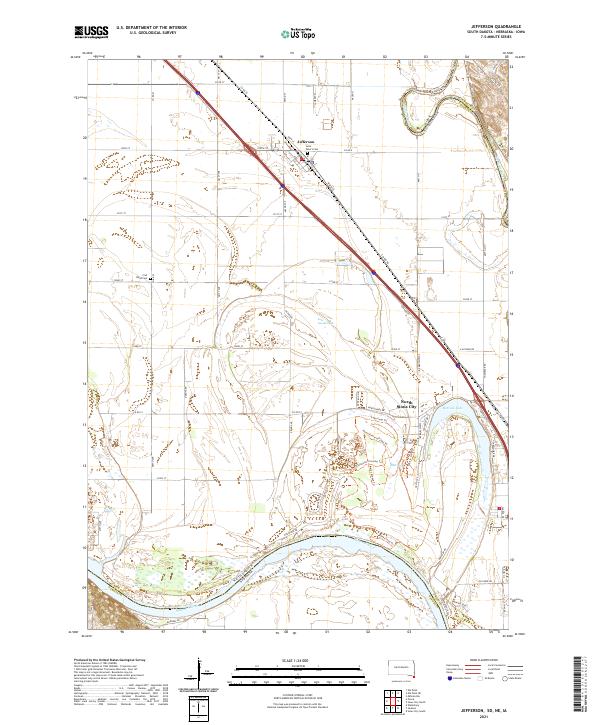
2021 Map of Jefferson
USGS Topo · Published 2021About this map
The Missouri River serves as a natural border in this pocket of the Great Plains, where the boundaries of South Dakota, Nebraska, and Iowa converge. The settlement of Jefferson stands near the northern edge of the sheet, anchored by Saint Peter's Cem, while North Sioux City occupies the southeastern corner near the wide bends of the river. The landscape is defined by its water features, including the elongated McCook Lake and the smaller Mud Lake and Lake Goodenough. These riparian areas are heavily developed for recreation, featuring an extensive network of named paths such as the Cottonwood Crossing Trl, North Primitive Laps Trl, and the Jay Heath Canoe & Kayak Trl. Farther west, the Civil Bend Cem marks a more quiet, agricultural stretch of Union County defined by a rigid grid of rural roads.
Find a feature on this map
39 named features on this map. Tap any name to fly to it.
Don’t see what you’re looking for? This feature index may not catch every label — zoom into the map to look around manually.
Map Details
Editions of this 2021 Jefferson Map
This is the sole edition of this map. No revisions or reprints were ever made.
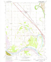
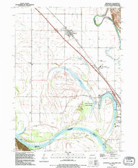
Historical Maps of Jefferson Through Time
3 maps found
Featured Locations
- Jefferson, Jefferson Township
- Wynstone, Jefferson Township
- Dakota Dunes, Big Sioux Township
- North Sioux City, Big Sioux Township
- McCook Lake, North Sioux City