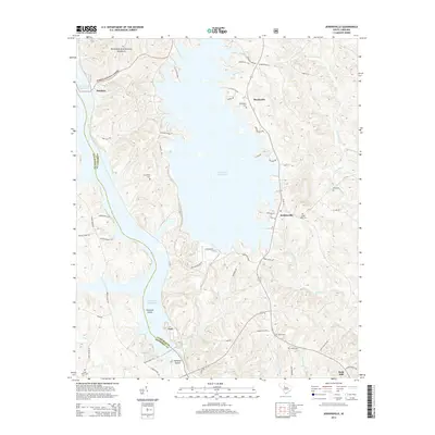
2014 Map of Jenkinsville
USGS Topo · Published 2014About this map
The Broad River and its accompanying hydrological developments define this landscape along the border of Newberry and Fairfield Counties. Centered on the massive Monticello Reservoir, the map illustrates a region where modern utility infrastructure meets traditional rural settlements. Small communities such as Jenkinsville, Monticello, and Dawkins are scattered across the terrain, many retaining ancestral connections through numerous family and community burial grounds including Brick Cem, Shiloh Cem, and Friendship Cem.
Find a feature on this map
60 named features on this map. Tap any name to fly to it.
Don’t see what you’re looking for? This feature index may not catch every label — zoom into the map to look around manually.
Map Details
Editions of this 2014 Jenkinsville Map
This is the sole edition of this map. No revisions or reprints were ever made.
Other maps of this area

1904 · Columbia
USGS Topo · 1:125,000

1941 · Spartanburg
USGS Topo · 1:250,000

1947 · Richtex
USGS Topo · 1:24,000

1949 · Richtex
USGS Topo · 1:24,000

1953 · Spartanburg
USGS Topo · 1:250,000

1960 · Spartanburg
USGS Topo · 1:250,000

1963 · Spartanburg
USGS Topo · 1:250,000

1964 · Spartanburg
USGS Topo · 1:250,000

1969 · Lebanon
USGS Topo · 1:24,000

1969 · Pomaria
USGS Topo · 1:24,000