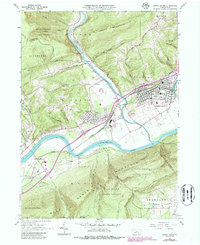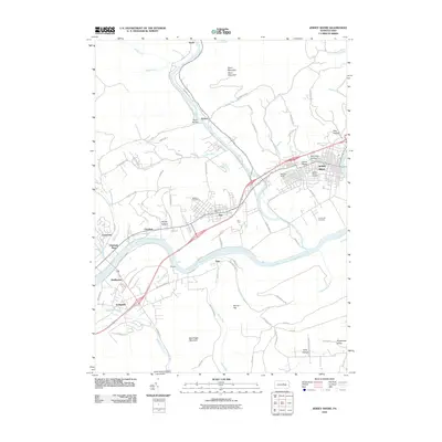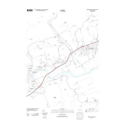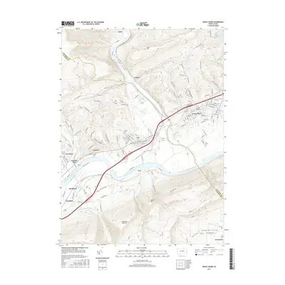
1994 Map of Jersey Shore
USGS Topo · Published 1999About this map
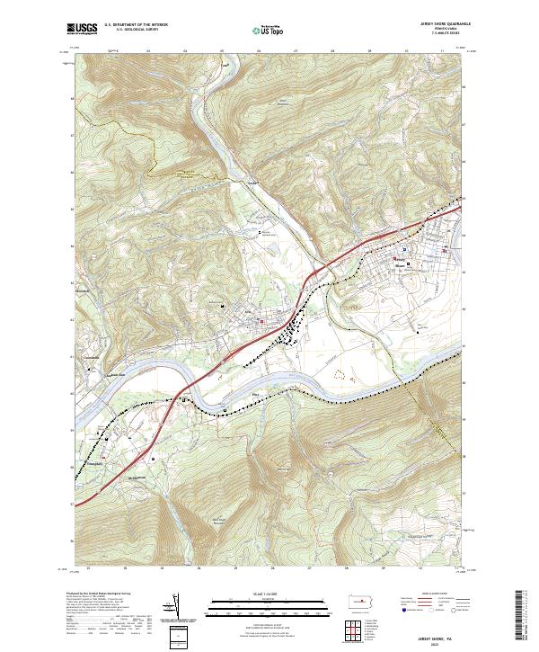
The West Branch Susquehanna River and Pine Creek converge in this mid-1990s portrait of Lycoming and Clinton counties. This landscape is defined by the deep valley where the water cuts between Short Mountain and Bald Eagle Mountain, creating a narrow corridor for the Conrail line and the Colders Port Pike. The borough of Jersey Shore serves as the primary hub, showing a dense street grid and the Jersey Shore Cemetery, while smaller industrial and residential clusters like Avis and McElhattan follow the river's path south.
Find a feature on this map
64 named features on this map. Tap any name to fly to it.
Don’t see what you’re looking for? This feature index may not catch every label — zoom into the map to look around manually.
Map Details
Editions of this 1994 Jersey Shore Map
This is the sole edition of this map. No revisions or reprints were ever made.
Historical Maps of Jersey Shore Through Time
7 maps found