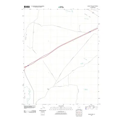
2011 Map of Jessies Twist
USGS Topo · Published 2011About this map
San Rafael River winds through the southwestern corner of this Emery County landscape, defined by the prominent landform of Shadscale Mesa and the unique topography of Jessies Twist. The area is a network of arid drainage systems, including Saleratus Wash and Cottonwood Wash, which feed into the broader Gunnison Valley. Water management is evident through features like Ninemile Reservoir and Trail Reservoir, which provide critical collection points in this desert environment.
Find a feature on this map
17 named features on this map. Tap any name to fly to it.
Don’t see what you’re looking for? This feature index may not catch every label — zoom into the map to look around manually.
Map Details
Editions of this 2011 Jessies Twist Map
This is the sole edition of this map. No revisions or reprints were ever made.
Other maps of this area

1885 · San Rafael
USGS Topo · 1:250,000

1886 · Price River
USGS Topo · 1:250,000

1896 · Price River
USGS Topo · 1:250,000

1953 · Tidwell 2 SW
USGS Topo · 1:24,000

1953 · Beckwith Peak SW
USGS Topo · 1:24,000

1953 · Tidwell 2 NW
USGS Topo · 1:24,000

1954 · Tidwell 1 SW
USGS Topo · 1:24,000

1954 · Tidwell 2 SE
USGS Topo · 1:24,000

1954 · Tidwell 2 NE
USGS Topo · 1:24,000

1954 · Tidwell 1 NW
USGS Topo · 1:24,000