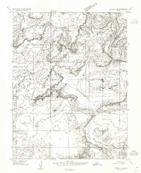
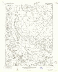
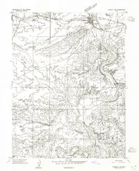
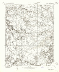
1954 Map of Tidwell 1 SW
USGS Topo · Published 1955About this map
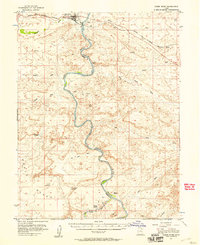
The San Rafael River winds through the southeastern corner of this mid-1950s terrain, converging toward the mighty Green River as it carves through the high desert of the Colorado Plateau. This preliminary survey illustrates a landscape defined by extreme isolation and topographic relief, where the boundary between Emery and Grand counties follows the natural course of the water. Human activity is sparse, centered on the Chaffin Ranch and a solitary Jeep Trail that provides the only named access through the canyon systems. Notable landforms include the elevated Wood Bench and seasonal catchments like Dry Lake and simply Lake, which emphasize the arid environment before modern development. The map serves as a primary record of the region's geography just as aerial photogrammetry was becoming the standard for documenting the American West.
Find a feature on this map
9 named features on this map. Tap any name to fly to it.
Don’t see what you’re looking for? This feature index may not catch every label — zoom into the map to look around manually.
Map Details
Editions of this 1954 Tidwell 1 SW Map
This is the sole edition of this map. No revisions or reprints were ever made.
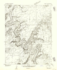
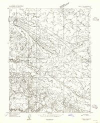
Other maps of this area

1885 · San Rafael
USGS Topo · 1:250,000
1952 · Tidwell 4 NE
USGS Topo · 1:24,000
1954 · Tidwell 1 NE
USGS Topo · 1:24,000
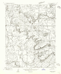
1954 · Tidwell 2 SE
USGS Topo · 1:24,000
1954 · Tidwell 2 NE
USGS Topo · 1:24,000
1954 · Tidwell 1 NW
USGS Topo · 1:24,000
1954 · Tidwell 1 SE
USGS Topo · 1:24,000
1954 · Tidwell Bottoms
USGS Topo · 1:62,500
1954 · Green River
USGS Topo · 1:62,500

1956 · Salina
USGS Topo · 1:250,000