
1954 Map of Tidwell Bottoms
USGS Topo · Published 1957About this map
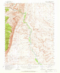
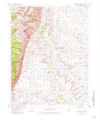
Tidwell Bottoms sits at the heart of this mid-century desert survey, where the San Rafael River carves through the dramatic geological upturn of the San Rafael Reef. The landscape is defined by its water management and sparse ranching outposts, featuring remote locations like Gillies Ranch and the curiously named The Frenchmans near the river's lower bends. Numerous artificial catchments such as Buckmaster Reservoir, Hatt Reservoir, and Ninemile Reservoir underscore the critical importance of water storage for livestock and survival in the arid Sinbad Country. Topographical details reveal the complex drainage systems of Dragon Wash and Greasewood Draw, while a Well (Aban'd) and various Moonshine Tanks hint at the difficulty of maintaining permanent operations in this reach of Emery County.
Find a feature on this map
39 named features on this map. Tap any name to fly to it.
Don’t see what you’re looking for? This feature index may not catch every label — zoom into the map to look around manually.
Map Details
Editions of this 1954 Tidwell Bottoms Map
3 editions found
Other maps of this area

1885 · San Rafael
USGS Topo · 1:250,000

1886 · Price River
USGS Topo · 1:250,000

1896 · Price River
USGS Topo · 1:250,000

1953 · Red Plateau SE
USGS Topo · 1:24,000

1953 · Tidwell 2 SW
USGS Topo · 1:24,000

1953 · Tidwell 3 NW
USGS Topo · 1:24,000

1953 · Beckwith Peak SW
USGS Topo · 1:24,000

1953 · Tidwell 2 NW
USGS Topo · 1:24,000

1953 · Temple Mtn
USGS Topo · 1:62,500

1954 · Stinking Spring Creek 1 SE
USGS Topo · 1:24,000