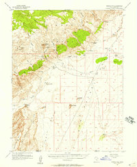
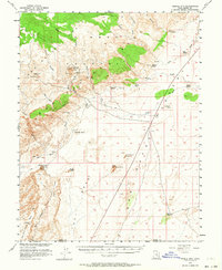
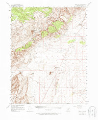
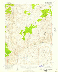
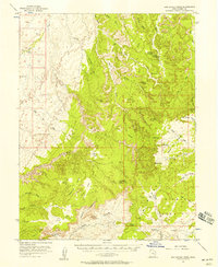
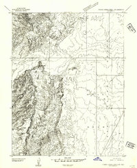
1953 Map of Temple Mtn
USGS Topo · Published 1957About this map
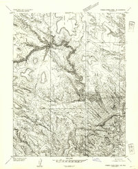
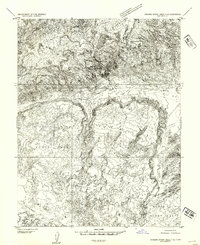
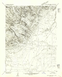
Temple Mtn dominates this mid-century survey of Emery County, serving as a hub for mining activity evidenced by numerous Tunnels and Shafts recorded along its slopes. The landscape is a study in desert water management and topography, featuring named catchments and springs such as Mormon Tanks, Farnsworth Tanks, and Buckskin Spring. This 1953 field check captures the area just as modern accessibility was increasing, with a Landing Strip and various Jeep Trails cutting through the Sinbad and San Rafael Country. To the south, the intricate erosional features of Goblin Valley and prominent landmarks like Mollys Castle and Little Gilson Butte provide clear navigational markers across the San Rafael Desert. The boundary between Emery and Wayne Counties is marked at the southern edge, near Jefferys Well.
Find a feature on this map
35 named features on this map. Tap any name to fly to it.
Don’t see what you’re looking for? This feature index may not catch every label — zoom into the map to look around manually.
Map Details
Editions of this 1953 Temple Mtn Map
3 editions found
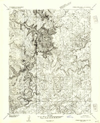
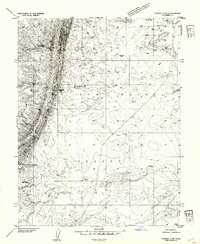
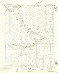
Other maps of this area

1885 · San Rafael
USGS Topo · 1:250,000
1952 · Wild Horse
USGS Topo · 1:62,500
1952 · San Rafael Knob
USGS Topo · 1:62,500
1953 · Stinking Spring Creek 2 SE
USGS Topo · 1:24,000
1953 · Tidwell 2 SW
USGS Topo · 1:24,000
1953 · Tidwell 3 NW
USGS Topo · 1:24,000
1954 · Stinking Springs Creek 4 SW
USGS Topo · 1:24,000
1954 · Stinking Spring Creek 1 SE
USGS Topo · 1:24,000
1954 · Stinking Spring Creek 3 SE
USGS Topo · 1:24,000
1954 · Stinking Spring Creek 4 NE
USGS Topo · 1:24,000