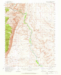
1954 Map of Tidwell Bottoms
USGS Topo · Published 1965About this map
San Rafael River currents carve through the heart of this mid-century landscape, defining the lush Tidwell Bottoms where water access once supported isolated outposts like Gillies Ranch. To the west, the formidable San Rafael Reef stands as a massive natural barrier, separating the river valley from the arid expanse of Sinbad Country. This survey captures the region just as modern hydrological monitoring was establishing a footprint, evidenced by the Gaging Sta and a network of remote watering points such as Moonshine Tanks and Hatt Reservoir.
Find a feature on this map
38 named features on this map. Tap any name to fly to it.
Don’t see what you’re looking for? This feature index may not catch every label — zoom into the map to look around manually.
Map Details
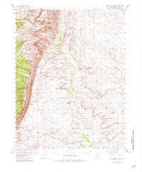
Editions of this 1954 Tidwell Bottoms Map
3 editions found

Other maps of this area

1885 · San Rafael
USGS Topo · 1:250,000

1886 · Price River
USGS Topo · 1:250,000

1896 · Price River
USGS Topo · 1:250,000

1953 · Red Plateau SE
USGS Topo · 1:24,000

1953 · Tidwell 2 SW
USGS Topo · 1:24,000

1953 · Tidwell 3 NW
USGS Topo · 1:24,000

1953 · Beckwith Peak SW
USGS Topo · 1:24,000

1953 · Tidwell 2 NW
USGS Topo · 1:24,000

1953 · Temple Mtn
USGS Topo · 1:62,500

1954 · Stinking Spring Creek 1 SE
USGS Topo · 1:24,000