
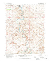
1954 Map of Green River
USGS Topo · Published 1958About this map
The Green River carves a winding path through this mid-century landscape, serving as the natural boundary between Grand and Emery counties. The settlement of Green River and the nearby community of Elgin serve as the primary hubs, linked by the Denver and Rio Grande Western railroad. This survey reveals a specialized desert economy where isolated outposts like Ruby Ranch and Chaffin Ranch depend on the river's proximity. Significant landmarks such as the Crystal Geyser and the Landing Strip suggest a mix of natural wonders and early aviation infrastructure. The terrain is defined by complex drainage systems like Seleratus Wash and Browns Wash, which feed into the main river channel. Traces of transit and industry are visible in the Cable Crossing and scattered Jeep Trail paths, while the confluence with the San Rafael River anchors the southern portion of the map.
Find a feature on this map
32 named features on this map. Tap any name to fly to it.
Don’t see what you’re looking for? This feature index may not catch every label — zoom into the map to look around manually.
Map Details
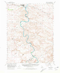
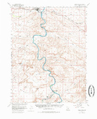
Editions of this 1954 Green River Map
5 editions found

Other maps of this area

1885 · San Rafael
USGS Topo · 1:250,000

1885 · East Tavaputs
USGS Topo · 1:250,000

1885 · La Sal
USGS Topo · 1:250,000

1886 · Price River
USGS Topo · 1:250,000

1896 · Price River
USGS Topo · 1:250,000

1951 · The Knoll
USGS Topo · 1:62,500

1952 · Tidwell 4 NE
USGS Topo · 1:24,000

1952 · Moab 3 NW
USGS Topo · 1:24,000

1954 · Tidwell 1 NE
USGS Topo · 1:24,000

1954 · Tidwell 1 SW
USGS Topo · 1:24,000