
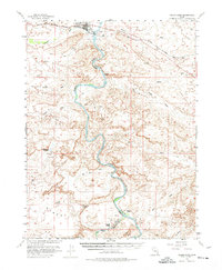
1954 Map of Green River
USGS Topo · Published 1961About this map
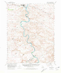
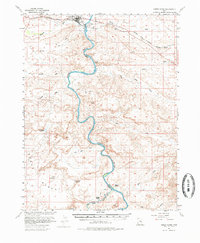
The Green River settlement serves as the central hub of this mid-century landscape, where the Denver and Rio Grande Western railroad tracks cross the water near Elgin. This 1954 field-checked survey was produced in cooperation with the Atomic Energy Commission, reflecting the era's uranium prospecting and regional infrastructure development. The topography is defined by the winding course of the Green River, which carves through a labyrinth of canyon country marked by numerous drainages like Saleratus Wash, Browns Wash, and Ninemile Wash.
Find a feature on this map
35 named features on this map. Tap any name to fly to it.
Don’t see what you’re looking for? This feature index may not catch every label — zoom into the map to look around manually.
Map Details
Editions of this 1954 Green River Map
5 editions found

Other maps of this area

1885 · San Rafael
USGS Topo · 1:250,000

1885 · East Tavaputs
USGS Topo · 1:250,000

1885 · La Sal
USGS Topo · 1:250,000

1886 · Price River
USGS Topo · 1:250,000

1896 · Price River
USGS Topo · 1:250,000

1951 · The Knoll
USGS Topo · 1:62,500

1952 · Tidwell 4 NE
USGS Topo · 1:24,000

1952 · Moab 3 NW
USGS Topo · 1:24,000

1954 · Tidwell 1 NE
USGS Topo · 1:24,000

1954 · Tidwell 1 SW
USGS Topo · 1:24,000