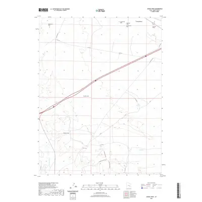
2020 Map of Jessies Twist
USGS Topo · Published 2020About this map
The San Rafael River and Green River converge in this arid corridor of Emery County, defining a landscape of deep washes and high desert valleys. The rugged topography of the Gunnison Valley is marked by the presence of industrial and agricultural footprints, notably at Hatt Ranch and near the W Ninemile/Acerson Mine. This area serves as a critical drainage basin where Ninemile Wash, Fivemile Wash, and Saleratus Wash channel seasonal runoff toward the larger river systems.
Find a feature on this map
22 named features on this map. Tap any name to fly to it.
Don’t see what you’re looking for? This feature index may not catch every label — zoom into the map to look around manually.
Map Details
Editions of this 2020 Jessies Twist Map
This is the sole edition of this map. No revisions or reprints were ever made.
Other maps of this area

1885 · San Rafael
USGS Topo · 1:250,000

1886 · Price River
USGS Topo · 1:250,000

1896 · Price River
USGS Topo · 1:250,000

1953 · Tidwell 2 SW
USGS Topo · 1:24,000

1953 · Beckwith Peak SW
USGS Topo · 1:24,000

1953 · Tidwell 2 NW
USGS Topo · 1:24,000

1954 · Tidwell 1 SW
USGS Topo · 1:24,000

1954 · Tidwell 2 SE
USGS Topo · 1:24,000

1954 · Tidwell 2 NE
USGS Topo · 1:24,000

1954 · Tidwell 1 NW
USGS Topo · 1:24,000