Loading...
Loading map...2022 Map of Jesup
USGS Topo · Published 2022About this map
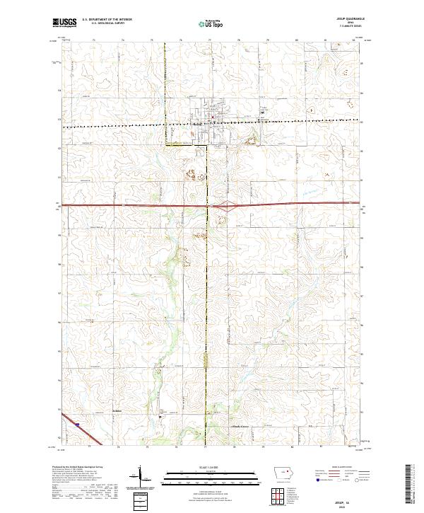
Jesup serves as the primary hub of this eastern Iowa landscape, situated along the border of Black Hawk Co and Buchanan Co. The town's grid is remarkably detailed, featuring names like Ainsworth St, Prospect St, and Purdy St. To the north and south, the terrain is defined by the headwaters of Spring Cr and its tributaries, such as E Br Spring Cr, which carve gentle patterns across the agricultural prairie.
Find a feature on this map
80 named features on this map. Tap any name to fly to it.
Don’t see what you’re looking for? This feature index may not catch every label — zoom into the map to look around manually.
Map Details
Date Portrayed2022
Date Published2022
PublisherU.S. Geological Survey
Map TypeTopographic
Scale1:24000
Physical Dimensions24 x 29 inches
Editions of this 2022 Jesup Map
This is the sole edition of this map. No revisions or reprints were ever made.
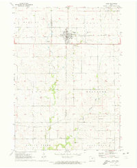
Historical Maps of Jubilee Through Time
Featured Locations
Source Details
SourceU.S. Geological Survey
CopyrightPublic Domain