Loading...
Loading map...1918 Map of Jesup
USGS Topo · Published 1943About this map
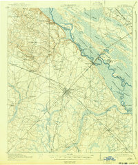
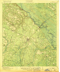
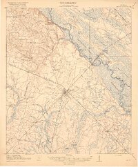
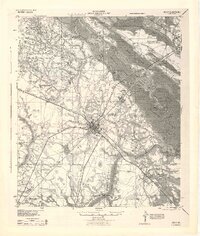
Jesup serves as the central hub of this South Georgia landscape, where the Atlantic Coast Line and Southern railroads intersect to define the town's early 20th-century economy. The topography is dominated by the sprawling Altamaha River basin to the northeast, a complex network of wetlands including Back Swamp and Vinzant Swamp. These lowlands are punctuated by numerous sloughs and lakes, such as Hanner Lake and Morgan Lake, which reflect a landscape shaped by seasonal flooding and river migration.
Find a feature on this map
75 named features on this map. Tap any name to fly to it.
Don’t see what you’re looking for? This feature index may not catch every label — zoom into the map to look around manually.
Map Details
Date Portrayed1918
Date Published1943
PublisherU.S. Geological Survey
Map TypeTopographic
Scale1:62,500
Physical Dimensions16.6 x 19.9 inches
Editions of this 1918 Jesup Map
3 editions found
Historical Maps of Jesup Through Time

Featured Locations
Source Details
SourceU.S. Geological Survey
CopyrightPublic Domain