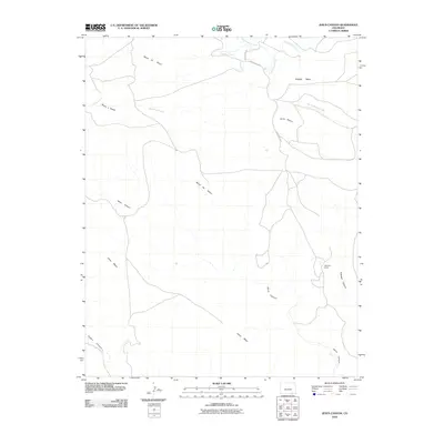
2010 Map of Jesus Canyon
USGS Topo · Published 2010About this map
Mesa de Maya dominates this arid landscape in southern Colorado, defining a high plateau region marked by sharp escarpments and intermittent drainage systems. The terrain is deeply incised by Jesus Canyon and Cobert Canyon, which carry seasonal runoff toward larger creek beds. Sparse human activity is centered around the Mayfield Ranch in the eastern sector, connected to the wider world by County Rd 193.4.
Find a feature on this map
15 named features on this map. Tap any name to fly to it.
Don’t see what you’re looking for? This feature index may not catch every label — zoom into the map to look around manually.
Map Details
Editions of this 2010 Jesus Canyon Map
This is the sole edition of this map. No revisions or reprints were ever made.
Other maps of this area

1891 · Mesa De Maya
USGS Topo · 1:125,000

1892 · Mt Carrizo
USGS Topo · 1:125,000

1893 · Mesa de Maya
USGS Topo · 1:125,000

1954 · Dalhart
USGS Topo · 1:250,000

1955 · La Junta
USGS Topo · 1:250,000

1958 · La Junta
USGS Topo · 1:250,000

1958 · Dalhart
USGS Topo · 1:250,000

1962 · Dalhart
USGS Topo · 1:250,000

1968 · La Junta
USGS Topo · 1:250,000

1972 · Travesser Park
USGS Topo · 1:24,000