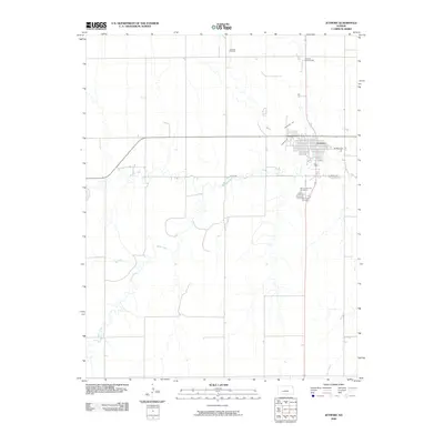
2009 Map of Jetmore
USGS Topo · Published 2009About this map
Jetmore stands as the central hub of this Hodgeman County landscape, where the grid of city streets like Bramley St and Main St meets the winding path of Buckner Creek. The town is flanked to the south by Saint Lawrence Cemetery and Fairmount Cemetery, providing essential landmarks for genealogical research in this part of Kansas. The surrounding prairie is defined by the intersection of agricultural transport and energy extraction, with the Jetmore Oil Field and Jetmore East Oil Field marking the industrial presence north of the settlement. Waterways including Spring Creek and Rock Creek cut through the terrain, illustrating the natural drainage patterns that have influenced local land use and road placement, such as River Rd, for generations.
Find a feature on this map
14 named features on this map. Tap any name to fly to it.
Don’t see what you’re looking for? This feature index may not catch every label — zoom into the map to look around manually.
Map Details
Editions of this 2009 Jetmore Map
This is the sole edition of this map. No revisions or reprints were ever made.
Other maps of this area

1892 · Ness
USGS Topo · 1:125,000

1892 · Dodge
USGS Topo · 1:125,000

1892 · Spearville
USGS Topo · 1:125,000

1894 · Spearville
USGS Topo · 1:125,000

1894 · Ness
USGS Topo · 1:125,000

1955 · Great Bend
USGS Topo · 1:250,000

1955 · Pratt
USGS Topo · 1:250,000

1955 · Dodge City
USGS Topo · 1:250,000

1955 · Scott City
USGS Topo · 1:250,000

1957 · Great Bend
USGS Topo · 1:250,000