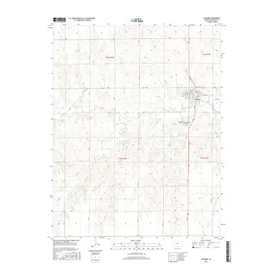
2015 Map of Jetmore
USGS Topo · Published 2015About this map
Jetmore stands at the center of this 2015 study, serving as the seat of Hodgeman County and a hub for the surrounding agricultural plains. The town is structured around a grid of streets such as Roughton St and Highway St, positioned where State Hwy 156 and 218 Rd intersect. The local history of the community is anchored by the Fairmount Cem and Saint Lawrence Catholic Cem, both located just south of the main town site. The landscape is defined by the winding course of Buckner Cr, which moves through the center of the quadrangle. This drainage system, along with Spring Cr to the southwest and Rock Cr to the southeast, dictates the terrain's gentle relief. The map reveals a strictly organized section-line road network, from O Rd at the northern boundary down to G Rd at the south, illustrating the enduring influence of the Public Land Survey System on Kansas settlement patterns.
Find a feature on this map
40 named features on this map. Tap any name to fly to it.
Don’t see what you’re looking for? This feature index may not catch every label — zoom into the map to look around manually.
Map Details
Editions of this 2015 Jetmore Map
This is the sole edition of this map. No revisions or reprints were ever made.
Other maps of this area

1892 · Ness
USGS Topo · 1:125,000

1892 · Dodge
USGS Topo · 1:125,000

1892 · Spearville
USGS Topo · 1:125,000

1894 · Spearville
USGS Topo · 1:125,000

1894 · Ness
USGS Topo · 1:125,000

1955 · Great Bend
USGS Topo · 1:250,000

1955 · Pratt
USGS Topo · 1:250,000

1955 · Dodge City
USGS Topo · 1:250,000

1955 · Scott City
USGS Topo · 1:250,000

1957 · Great Bend
USGS Topo · 1:250,000