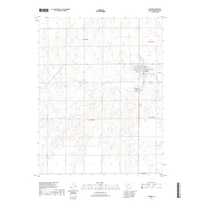
2018 Map of Jetmore
USGS Topo · Published 2018About this map
Jetmore stands as the central hub of this Kansas plains landscape, situated along the banks of Buckner Cr. The town's grid is meticulously detailed, showing the intersection of Main St and Highway St, while also identifying civic landmarks like the Po. The surrounding rural area is defined by the Public Land Survey System, with township and range lines such as t22s r23w dividing the terrain into a predictable geometric grid of agricultural roads. These roads, from O Rd in the north to G Rd in the south, provide access to the intermittent waterways of Spring Cr and Rock Cr. For genealogists, the map identifies significant burial sites including Fairmount Cem and the Saint Lawrence Catholic Cem, providing a precise location for these local heritage landmarks within Hodgeman County.
Find a feature on this map
42 named features on this map. Tap any name to fly to it.
Don’t see what you’re looking for? This feature index may not catch every label — zoom into the map to look around manually.
Map Details
Editions of this 2018 Jetmore Map
This is the sole edition of this map. No revisions or reprints were ever made.
Other maps of this area

1892 · Ness
USGS Topo · 1:125,000

1892 · Dodge
USGS Topo · 1:125,000

1892 · Spearville
USGS Topo · 1:125,000

1894 · Spearville
USGS Topo · 1:125,000

1894 · Ness
USGS Topo · 1:125,000

1955 · Great Bend
USGS Topo · 1:250,000

1955 · Pratt
USGS Topo · 1:250,000

1955 · Dodge City
USGS Topo · 1:250,000

1955 · Scott City
USGS Topo · 1:250,000

1957 · Great Bend
USGS Topo · 1:250,000