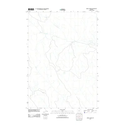
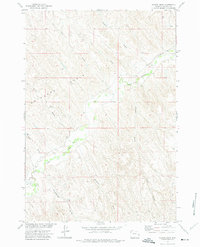
2012 Map of Jewell Draw
USGS Topo · Published 2012About this map
Cottonwood Creek and its various tributaries form the primary drainage system for this corner of Sheridan County, Wyoming. The terrain is defined by the winding paths of the North Prong Cottonwood Creek and South Prong Cottonwood Creek, which converge to shape the local hydrology in a region largely defined by its rural character and natural water features. In an area where permanent water bodies are relatively scarce, the feature simply labeled The Lake stands out as a significant landmark in the central portion of the quadrangle. To the north, OK Creek cuts across the landscape, illustrating the network of intermittent and perennial streams that supported ranching and land use in this part of the state during the early 21st century.
Find a feature on this map
5 named features on this map. Tap any name to fly to it.
Don’t see what you’re looking for? This feature index may not catch every label — zoom into the map to look around manually.
Map Details
Editions of this 2012 Jewell Draw Map
This is the sole edition of this map. No revisions or reprints were ever made.
Other maps of this area

1955 · Sheridan
USGS Topo · 1:250,000

1958 · Sheridan
USGS Topo · 1:250,000

1962 · Sheridan
USGS Topo · 1:250,000

1971 · Arvada
USGS Topo · 1:24,000

1971 · Leiter
USGS Topo · 1:24,000
1971 · Arvada NE
USGS Topo · 1:24,000

1972 · Mitchell Draw
USGS Topo · 1:24,000
1972 · Lariat
USGS Topo · 1:24,000
1972 · Jewell Draw
USGS Topo · 1:24,000
1972 · Floate Draw
USGS Topo · 1:24,000