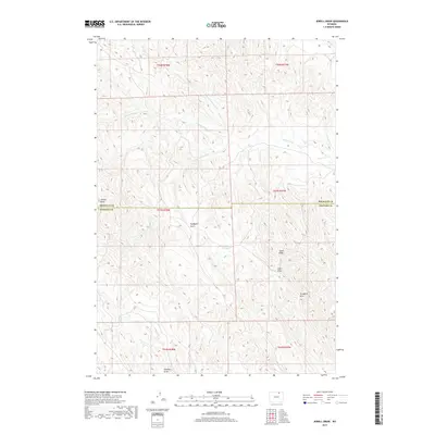
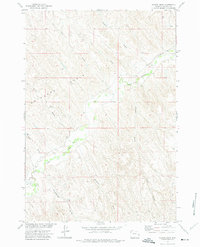
2017 Map of Jewell Draw
USGS Topo · Published 2017About this map
The high plains of Wyoming are defined by a complex drainage system along the Sheridan County and Johnson County line. This 2017 survey by the U.S. Geological Survey details a landscape shaped by intermittent watercourses and technical water management features. Cottonwood Creek, along with its northern and southern prongs, creates a branching network of valleys, while more localized depressions like Jewell Draw and Headgate Draw speak to the local topography. A notable point of focus is The Lake, a singular permanent water body in a terrain otherwise characterized by its many draws, including Cates Draw and Coal Draw. The map provides a look at the modern land divisions of the Public Land Survey System, illustrating how township and range lines bisect these natural features in the Powder River Basin region.
Find a feature on this map
18 named features on this map. Tap any name to fly to it.
Don’t see what you’re looking for? This feature index may not catch every label — zoom into the map to look around manually.
Map Details
Editions of this 2017 Jewell Draw Map
This is the sole edition of this map. No revisions or reprints were ever made.
Other maps of this area

1955 · Sheridan
USGS Topo · 1:250,000

1958 · Sheridan
USGS Topo · 1:250,000

1962 · Sheridan
USGS Topo · 1:250,000

1971 · Arvada
USGS Topo · 1:24,000

1971 · Leiter
USGS Topo · 1:24,000
1971 · Arvada NE
USGS Topo · 1:24,000

1972 · Mitchell Draw
USGS Topo · 1:24,000
1972 · Lariat
USGS Topo · 1:24,000
1972 · Jewell Draw
USGS Topo · 1:24,000
1972 · Floate Draw
USGS Topo · 1:24,000