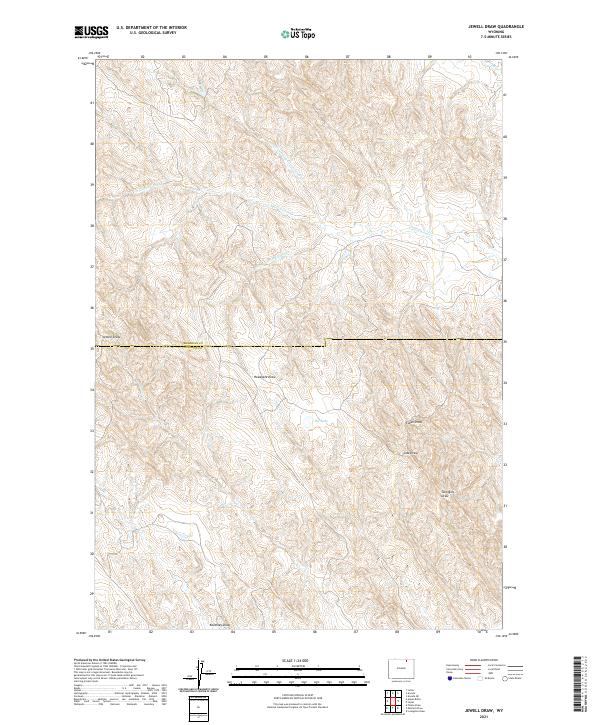
2021 Map of Jewell Draw
USGS Topo · Published 2021About this map
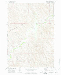
Jewell Draw and the surrounding drainage network of north-central Wyoming are captured here in high detail, illustrating a landscape defined by seasonal watercourses and sharp topographic relief. The boundary between Sheridan and Johnson counties cuts horizontally across the sheet, a significant administrative marker in this sparsely settled region. The terrain is characterized by intricate draws that feed into larger systems, most notably Cottonwood Creek and its branches, including the North Prong and South Prong.
Find a feature on this map
18 named features on this map. Tap any name to fly to it.
Don’t see what you’re looking for? This feature index may not catch every label — zoom into the map to look around manually.
Map Details
Editions of this 2021 Jewell Draw Map
This is the sole edition of this map. No revisions or reprints were ever made.
Other maps of this area

1955 · Sheridan
USGS Topo · 1:250,000

1958 · Sheridan
USGS Topo · 1:250,000

1962 · Sheridan
USGS Topo · 1:250,000

1971 · Arvada
USGS Topo · 1:24,000

1971 · Leiter
USGS Topo · 1:24,000
1971 · Arvada NE
USGS Topo · 1:24,000

1972 · Mitchell Draw
USGS Topo · 1:24,000
1972 · Lariat
USGS Topo · 1:24,000
1972 · Jewell Draw
USGS Topo · 1:24,000
1972 · Floate Draw
USGS Topo · 1:24,000