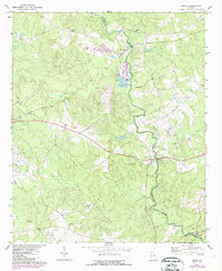
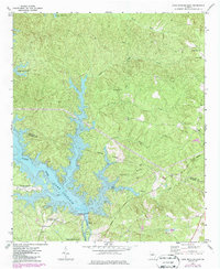
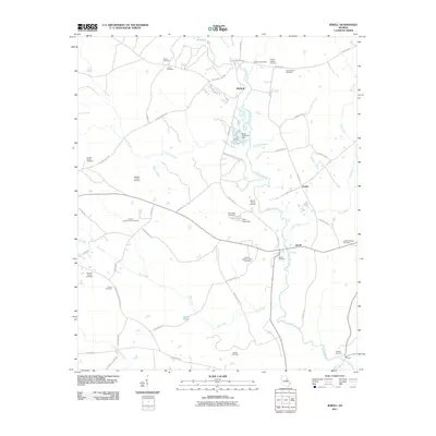
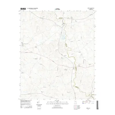
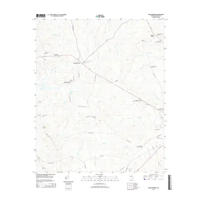
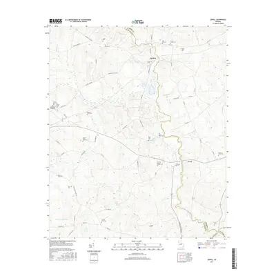
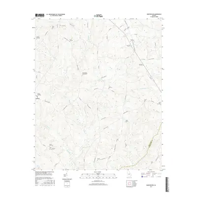
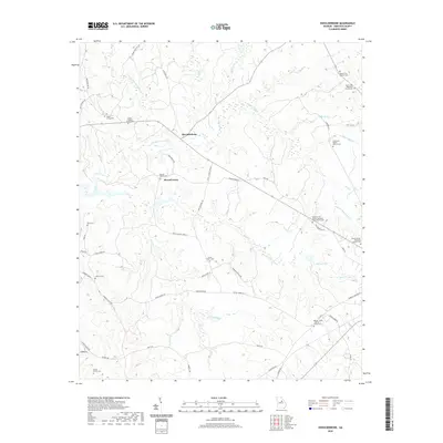
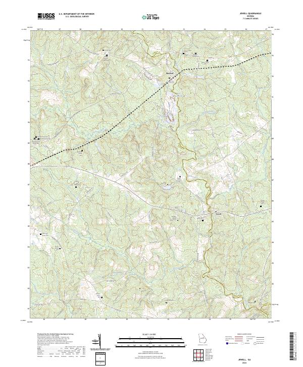
1972 Map of Jewell
USGS Topo · Published 1987About this map
The Ogeechee River and its tributary Little Ogeechee River define this rural Georgia landscape along the border of Warren and Hancock counties. At the time of this 1970s field check, the communities of Mayfield and Jewell served as the primary hubs, connected by a network of local roads and the CSX rail line. The map reveals a deeply established social fabric, evidenced by numerous country churches such as Trinity Ch and its associated Cem, Thankful Ch, and Horeb Ch.
Find a feature on this map
22 named features on this map. Tap any name to fly to it.
Don’t see what you’re looking for? This feature index may not catch every label — zoom into the map to look around manually.
Map Details
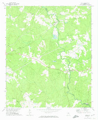
Editions of this 1972 Jewell Map
2 editions found
Historical Maps of Ansley Through Time
36 maps found
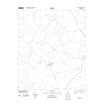
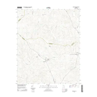
1961 Warthen NW
Hancock County, GA
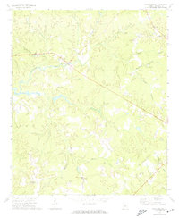
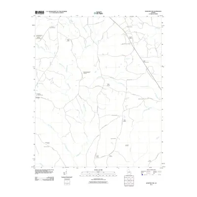
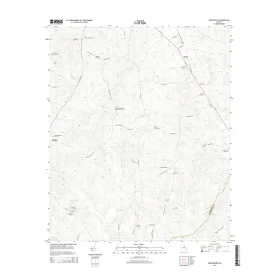
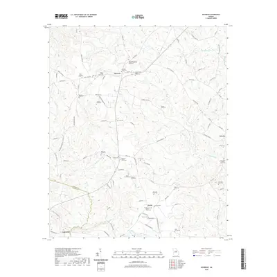
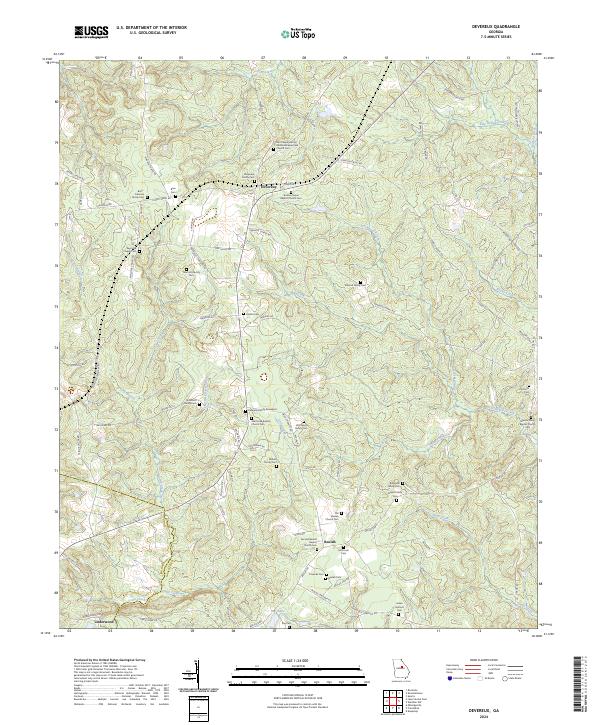
1972 Devereux
Hancock County, GA
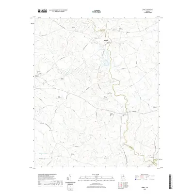
1972 Jewell
Hancock County, GA
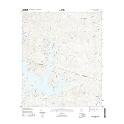
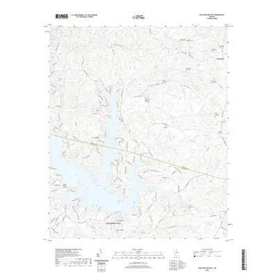
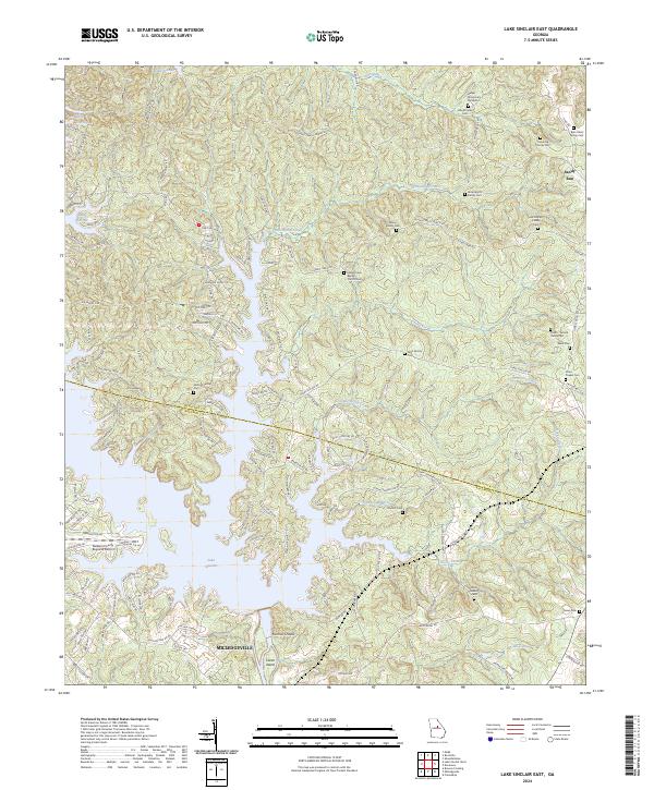
1972 Lake Sinclair East
Hancock County, GA
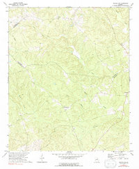
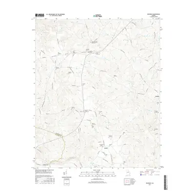
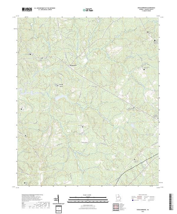
1972 Shoulderbone
Hancock County, GA
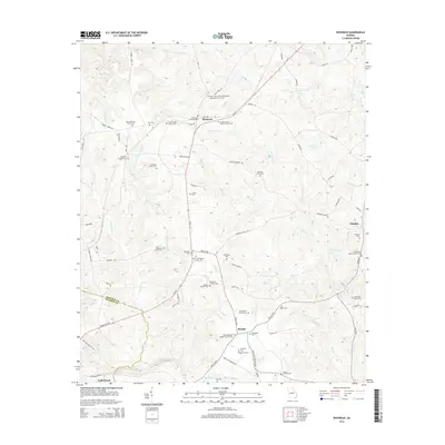
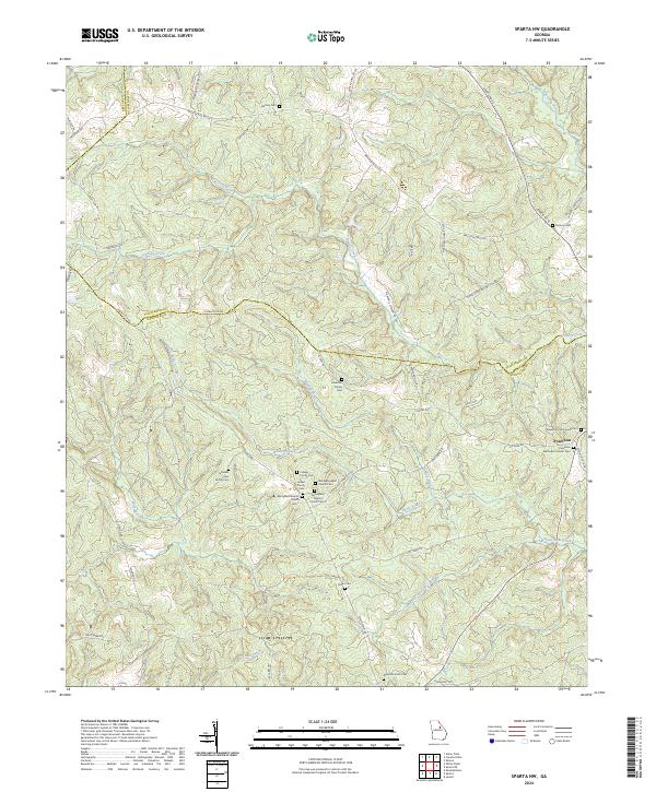
1972 Sparta NW
Hancock County, GA
2011 Devereux
Hancock County, GA
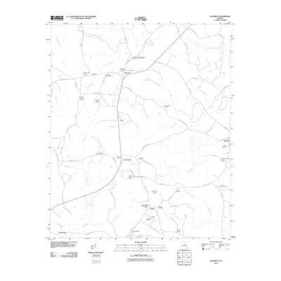
2011 Jewell
Hancock County, GA
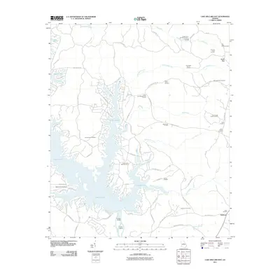
2011 Lake Sinclair East
Hancock County, GA
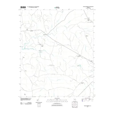
2011 Shoulderbone
Hancock County, GA
2011 Sparta NW
Hancock County, GA
2011 Warthen NW
Hancock County, GA
2014 Devereux
Hancock County, GA
2014 Jewell
Hancock County, GA
2014 Lake Sinclair East
Hancock County, GA
2014 Shoulderbone
Hancock County, GA
2014 Sparta NW
Hancock County, GA
2014 Warthen NW
Hancock County, GA
2017 Devereux
Hancock County, GA
2017 Jewell
Hancock County, GA
2017 Lake Sinclair East
Hancock County, GA
2017 Shoulderbone
Hancock County, GA
2017 Sparta NW
Hancock County, GA
2017 Warthen NW
Hancock County, GA
2020 Devereux
Hancock County, GA
2020 Jewell
Hancock County, GA
2020 Lake Sinclair East
Hancock County, GA
2020 Shoulderbone
Hancock County, GA
2020 Sparta NW
Hancock County, GA
2020 Warthen NW
Hancock County, GA
2024 Devereux
Hancock County, GA
2024 Jewell
Hancock County, GA
2024 Lake Sinclair East
Hancock County, GA
2024 Shoulderbone
Hancock County, GA
2024 Sparta NW
Hancock County, GA
2024 Warthen NW
Hancock County, GA