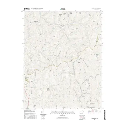
2016 Map of Jewell Ridge
USGS Topo · Published 2016About this map
Jewell Ridge and the surrounding highlands of the Buchanan Co and Tazewell Co border define this Appalachian landscape. The terrain is characterized by a dense network of ridges and hollows, where small settlements like Whitewood, Jewell Valley, and Seaboard are situated along the winding paths of Dismal Creek and the Laurel Fork. The map provides significant detail for genealogical research, documenting numerous family and local burial sites including Boyd Cem, Sawyer Cem, Stevenson Cem, and the Company Cem located near the ridge crest. Significant peaks and gaps, such as Sugar Cove Mtn, Wolfpen Knob, and Hickory Gap, frame the narrow valleys where roads like Jewell Valley RD and State Rte 635 follow the natural contours of the land. This survey illustrates the intricate drainage patterns of the W Fork Big Cr and Middle Cr systems that have shaped the region's development.
Find a feature on this map
114 named features on this map. Tap any name to fly to it.
Don’t see what you’re looking for? This feature index may not catch every label — zoom into the map to look around manually.
Map Details
Editions of this 2016 Jewell Ridge Map
This is the sole edition of this map. No revisions or reprints were ever made.
Other maps of this area

1891 · Tazewell
USGS Topo · 1:125,000

1895 · Tazewell
USGS Topo · 1:125,000

1897 · Tazewell
USGS Topo · 1:125,000

1910 · Iaeger
USGS Topo · 1:48,000

1912 · Pounding Mill
USGS Topo · 1:62,500

1912 · Iaeger
USGS Topo · 1:62,500

1912 · Welch
USGS Topo · 1:62,500

1914 · Iaeger
USGS Topo · 1:48,000

1915 · Richlands
USGS Topo · 1:48,000

1916 · Pounding Mill
USGS Topo · 1:62,500