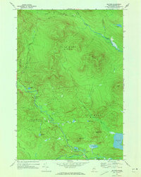
1969 Map of Jim Pond
USGS Topo · Published 1973About this map
The North Branch Dead River carves through this remote timberland within the Kibby Range during the late 1960s. This survey of Northwestern Maine highlights a landscape dominated by township boundaries and water bodies rather than permanent settlements, with areas like Jim Pond and Kibby defining the legal geography. The map records several small lakes and ponds, including Hurricane Pond, Viles Pond, and the significant Jim Pond at the foot of Chase Pond Mtn.
Find a feature on this map
30 named features on this map. Tap any name to fly to it.
Don’t see what you’re looking for? This feature index may not catch every label — zoom into the map to look around manually.
Map Details
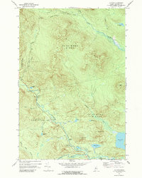
Editions of this 1969 Jim Pond Map
2 editions found
Other maps of this area

1928 · Chain Lakes
USGS Topo · 1:48,000

1928 · Spencer
USGS Topo · 1:48,000

1928 · Stratton
USGS Topo · 1:48,000

1932 · Stratton
USGS Topo · 1:62,500

1932 · Kennebago Lake
USGS Topo · 1:48,000

1932 · Spencer
USGS Topo · 1:62,500

1932 · Chain Lakes
USGS Topo · 1:62,500

1935 · Kennebago Lake
USGS Topo · 1:62,500

1935 · Chain Lakes
USGS Topo · 1:62,500

1936 · Kennebago Lake
USGS Topo · 1:62,500
Featured Places
- Kibby Township, ME
- Jim Pond Township, ME
- Alder Stream Township, ME
- Chain of Ponds Township, ME
- Franklin County, ME