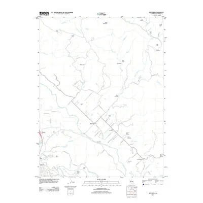
2012 Map of Jimtown
USGS Topo · Published 2012About this map
Jimtown and the surrounding Alexander Valley landscape are defined by a historic viticultural tradition and family-named landmarks along the Russian River. This 2012 survey reveals a dense network of wine production facilities, including Sausal Winery, Soda Rock Winery, and Simi Winery, alongside long-established family sites. For genealogists, the map provides precise locations for the Cyrus Alexander Family Cem, Hall Cem, and Beeson Cem, which anchor the local history of these rural settlements.
Find a feature on this map
85 named features on this map. Tap any name to fly to it.
Don’t see what you’re looking for? This feature index may not catch every label — zoom into the map to look around manually.
Map Details
Editions of this 2012 Jimtown Map
This is the sole edition of this map. No revisions or reprints were ever made.
Other maps of this area
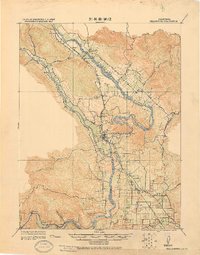
1920 · Healdsburg
USGS Topo · 1:62,500
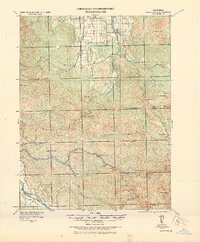
1921 · Kelseyville
USGS Topo · 1:62,500
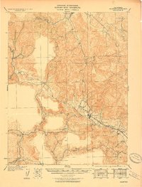
1927 · Calistoga
USGS Topo · 1:62,500
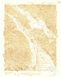
1933 · Healdsburg
USGS Topo · 1:48,000
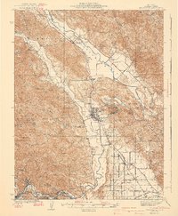
1940 · Healdsburg
USGS Topo · 1:62,500
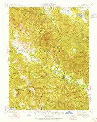
1943 · Calistoga
USGS Topo · 1:62,500
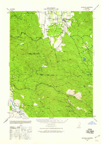
1943 · Kelseyville
USGS Topo · 1:62,500
1945 · Calistoga
USGS Topo · 1:62,500
1945 · Lower Lake
USGS Topo · 1:62,500

1947 · Santa Rosa
USGS Topo · 1:250,000