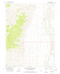
1972 Map of Job Peak
USGS Topo · Published 1975About this map
Job Peak serves as a prominent landmark within the Stillwater Range, overlooking the dramatic topographical shift into the Dixie Valley (Depression). The landscape is defined by its drainage systems and vertical relief, with Freeman Creek and numerous springs like Cain Spring punctuating the desert terrain. This 1970s survey illustrates a wilderness primarily accessible via a network of unnamed Jeep Trails and a designated Pack Trail, emphasizing the area's isolation and its reliance on seasonal water sources found in Sheep Canyon and Coyote Canyon.
Find a feature on this map
30 named features on this map. Tap any name to fly to it.
Don’t see what you’re looking for? This feature index may not catch every label — zoom into the map to look around manually.
Map Details
Editions of this 1972 Job Peak Map
2 editions found
Other maps of this area

1908 · Carson Sink
USGS Topo · 1:250,000

1910 · Carson Sink
USGS Topo · 1:250,000

1957 · Reno
USGS Topo · 1:250,000

1959 · Reno
USGS Topo · 1:250,000

1960 · Reno
USGS Topo · 1:250,000

1969 · Cox Canyon
USGS Topo · 1:24,000

1969 · Table Mtn
USGS Topo · 1:24,000

1972 · Pirouette Mtn
USGS Topo · 1:24,000
1972 · I X L Canyon
USGS Topo · 1:24,000
1972 · Wonder Mountain
USGS Topo · 1:24,000