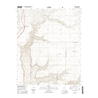
2014 Map of Joes Hill
USGS Topo · Published 2014About this map
The Aqua Fria River carves through this high-elevation landscape in Yavapai County, defining the drainage patterns of the surrounding mesas and canyons. The terrain is characterized by broad plateaus such as Perry Mesa and Black Mesa, which are incised by deep geological features like Baby Canyon and Lousy Canyon. To the west, the path of I 17 provides modern access along the edge of Alkali Canyon, while the eastern portion of the map transitions into the protected lands of the Tonto National Forest. Numerous small tanks, including Joes Tank and Antelope Tank, are scattered across the landscape, suggesting the importance of water catchment in this arid environment. Named landmarks like Joes Hill and various washes such as Badger Spring Wash and Hackberry Wash provide specific points of reference for those tracing geographical features in this region.
Find a feature on this map
37 named features on this map. Tap any name to fly to it.
Don’t see what you’re looking for? This feature index may not catch every label — zoom into the map to look around manually.
Map Details
Editions of this 2014 Joes Hill Map
This is the sole edition of this map. No revisions or reprints were ever made.
Other maps of this area

1887 · Verde
USGS Topo · 1:250,000

1887 · Prescott
USGS Topo · 1:250,000

1892 · Verde
USGS Topo · 1:250,000

1892 · Prescott
USGS Topo · 1:250,000

1903 · Bradshaw Mountains
USGS Topo · 1:125,000

1929 · Turret Peak
USGS Topo · 1:125,000

1933 · Turret Peak
USGS Topo · 1:125,000

1947 · Bumblebee
USGS Topo · 1:62,500

1947 · Mayer
USGS Topo · 1:62,500

1948 · Bumblebee
USGS Topo · 1:63,360