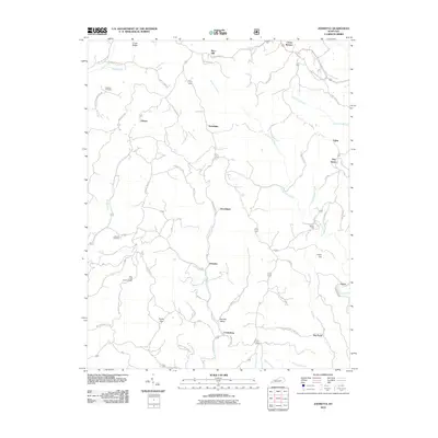
2010 Map of Johnetta
USGS Topo · Published 2010About this map
Johnetta and Goochland anchor this rural landscape in Rockcastle County, where steep terrain and winding creek valleys dictate the local geography. The map shows a region shaped by a complex drainage system, primarily fed by the serpentining Horse Lick Creek and its many tributaries like Rock Lick Branch and Little Clover Creek. This network supported local industry and homesteads, evidenced by landmarks such as Rose's Mill and several community-specific burial grounds including Johnetta Cemetery and Chasteen Cemetery.
Find a feature on this map
60 named features on this map. Tap any name to fly to it.
Don’t see what you’re looking for? This feature index may not catch every label — zoom into the map to look around manually.
Map Details
Editions of this 2010 Johnetta Map
This is the sole edition of this map. No revisions or reprints were ever made.
Other maps of this area

1892 · Richmond
USGS Topo · 1:125,000

1893 · London
USGS Topo · 1:125,000

1897 · Richmond
USGS Topo · 1:125,000

1897 · London
USGS Topo · 1:125,000

1952 · Alcorn
USGS Topo · 1:24,000

1952 · Berea
USGS Topo · 1:24,000

1952 · Bighill
USGS Topo · 1:24,000

1953 · Johnetta
USGS Topo · 1:24,000

1953 · Sandgap
USGS Topo · 1:24,000

1953 · Wildie
USGS Topo · 1:24,000