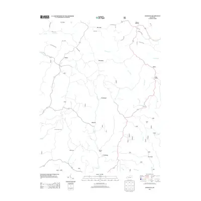
2013 Map of Johnetta
USGS Topo · Published 2013About this map
Horse Lick Cr and Crooked Cr wind through this pocket of Rockcastle County, where small rural communities are connected by a network of named family roads. The area around Goochland and Threelinks reflects a landscape shaped by narrow valleys and ridges like Cruse Ridge and Rice Hill. Notable local landmarks include Rose's Mill on the banks of Horse Lick Creek and the New Hope Lookout Tower to the west, which provides a high-ground perspective over the timbered terrain near Wolf Cr.
Find a feature on this map
45 named features on this map. Tap any name to fly to it.
Don’t see what you’re looking for? This feature index may not catch every label — zoom into the map to look around manually.
Map Details
Editions of this 2013 Johnetta Map
This is the sole edition of this map. No revisions or reprints were ever made.
Other maps of this area

1892 · Richmond
USGS Topo · 1:125,000

1893 · London
USGS Topo · 1:125,000

1897 · Richmond
USGS Topo · 1:125,000

1897 · London
USGS Topo · 1:125,000

1952 · Alcorn
USGS Topo · 1:24,000

1952 · Berea
USGS Topo · 1:24,000

1952 · Bighill
USGS Topo · 1:24,000

1953 · Johnetta
USGS Topo · 1:24,000

1953 · Sandgap
USGS Topo · 1:24,000

1953 · Wildie
USGS Topo · 1:24,000