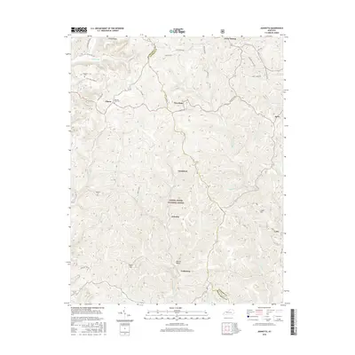
2016 Map of Johnetta
USGS Topo · Published 2016About this map
Daniel Boone National Forest covers much of this landscape along the border of Rockcastle and Jackson counties. The terrain is defined by a dense network of ridges and hollows, such as Cruse Ridge and Barnett Valley, where small settlements and family cemeteries are tucked into the topography. Local history is anchored at sites like Threelinks and Goochland, while educational foundations are marked by the Rice School and Johnson School. The map reveals a high concentration of generational burial grounds, including Chastine Cem, King and Clark Cem, and the Wilds Cemetery. Waterways like Horse Lick Creek and its many branches, such as Sugar Camp Br, have historically dictated the placement of homesteads and roads like Dicy Cope Chapel Rd and Clark Ridge Rd.
Find a feature on this map
55 named features on this map. Tap any name to fly to it.
Don’t see what you’re looking for? This feature index may not catch every label — zoom into the map to look around manually.
Map Details
Editions of this 2016 Johnetta Map
This is the sole edition of this map. No revisions or reprints were ever made.
Other maps of this area

1892 · Richmond
USGS Topo · 1:125,000

1893 · London
USGS Topo · 1:125,000

1897 · Richmond
USGS Topo · 1:125,000

1897 · London
USGS Topo · 1:125,000

1952 · Alcorn
USGS Topo · 1:24,000

1952 · Berea
USGS Topo · 1:24,000

1952 · Bighill
USGS Topo · 1:24,000

1953 · Johnetta
USGS Topo · 1:24,000

1953 · Sandgap
USGS Topo · 1:24,000

1953 · Wildie
USGS Topo · 1:24,000