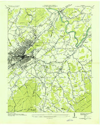
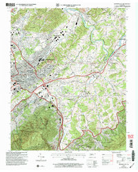
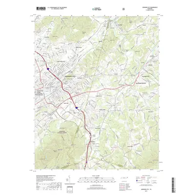
1935 Map of Johnson City
USGS Topo · Published 1935About this map
Johnson City serves as a bustling rail and industrial hub in the mid-1930s, anchored by the intersection of the Southern Railway, Clinchfield RR, and the Et & WNC RR. The urban grid transitions into a landscape of educational and social institutions, including Milligan College and the Johnson City Country Club. Early aviation is represented by the St John Landing Field near Dividing Ridge, while the eastern portion of the map is defined by the winding Watauga River and the commemorative Sycamore Shoals Monument. Numerous rural schools such as Princeton Sch and Fagan Sch, along with churches like Sinking Creek Ch, dot the valleys. To the south, the terrain rises into the Unaka National Forest, showing the proximity of dense woodland to the expanding city center.
Find a feature on this map
94 named features on this map. Tap any name to fly to it.
Don’t see what you’re looking for? This feature index may not catch every label — zoom into the map to look around manually.
Map Details
Editions of this 1935 Johnson City Map
This is the sole edition of this map. No revisions or reprints were ever made.
Historical Maps of Johnson City Through Time
15 maps found
1935 Johnson City
Washington County, TN
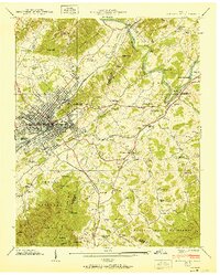
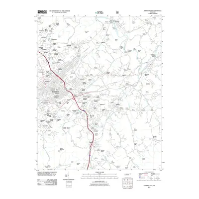
1940 Johnson City
Washington County, TN
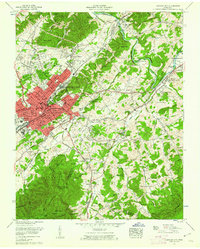
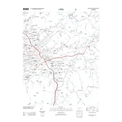
1955 Johnson City
Washington County, TN

1955 Johnson City
Washington County, TN

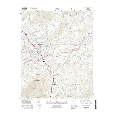
1957 Johnson City
Washington County, TN
1959 Johnson City
Washington County, TN

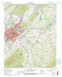
1960 Johnson City
Washington County, TN

1963 Johnson City
Washington County, TN

1980 Johnson City
Washington County, TN
2003 Johnson City
Washington County, TN
2011 Johnson City
Washington County, TN
2013 Johnson City
Washington County, TN
2016 Johnson City
Washington County, TN
2019 Johnson City
Washington County, TN
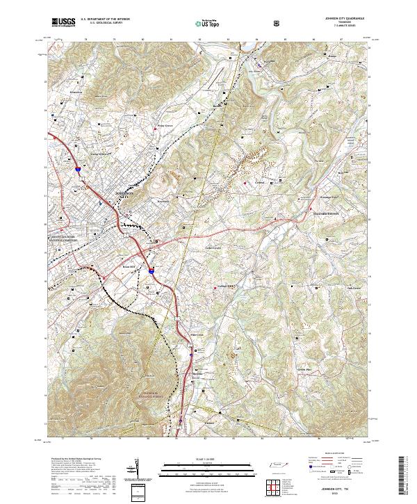
2022 Johnson City
Washington County, TN