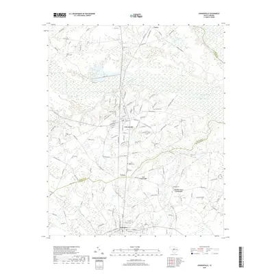
2020 Map of Johnsonville
USGS Topo · Published 2020About this map
Johnsonville sits as the central hub of this South Carolina landscape where the borders of Florence, Marion, and Williamsburg Counties converge. The Lynches River and Muddy Cr define the hydrological character of the region, creating expansive wetlands like Moodys Swamp and isolated water bodies such as Honey Lake. The settlement pattern reflects a long history of rural crossroads and community nodes, evidenced by the high density of burial grounds including Old Johnsonville Cem, Garden of Devotion Cem, and the Lake Chapel Cem near Lake Swamp.
Find a feature on this map
139 named features on this map. Tap any name to fly to it.
Don’t see what you’re looking for? This feature index may not catch every label — zoom into the map to look around manually.
Map Details
Editions of this 2020 Johnsonville Map
This is the sole edition of this map. No revisions or reprints were ever made.
Other maps of this area

1943 · Henry
USGS Topo · 1:24,000

1943 · Outland
USGS Topo · 1:24,000

1944 · Outland
USGS Topo · 1:31,680

1946 · Hyman
USGS Topo · 1:62,500

1946 · Johnsonville
USGS Topo · 1:62,500

1946 · Indiantown
USGS Topo · 1:62,500

1949 · Georgetown
USGS Topo · 1:250,000

1967 · Georgetown
USGS Topo · 1:250,000

1974 · Georgetown
USGS Topo · 1:250,000

1986 · Kingstree
USGS Topo · 1:100,000