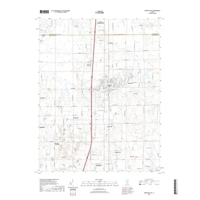
2018 Map of Johnston City
USGS Topo · Published 2018About this map
Johnston City serves as the central hub of this survey, surrounded by a network of smaller communities including Shakerag, White Ash, and Fergestown. The landscape is notably dense with family and community burial sites, such as the Jacob Hunter Cem, Lakeview Cem, and Allen Hunter Cem, providing significant geographic data for genealogical research. These features are situated near the boundary where Franklin Co meets Williamson Co.
Find a feature on this map
162 named features on this map. Tap any name to fly to it.
Don’t see what you’re looking for? This feature index may not catch every label — zoom into the map to look around manually.
Map Details
Editions of this 2018 Johnston City Map
This is the sole edition of this map. No revisions or reprints were ever made.
Other maps of this area

1909 · West Frankfort
USGS Topo · 1:62,500

1910 · Herrin
USGS Topo · 1:62,500

1922 · Carbondale
USGS Topo · 1:62,500

1925 · Marion
USGS Topo · 1:62,500

1936 · Herrin
USGS Topo · 1:62,500

1940 · Marion
USGS Topo · 1:62,500

1941 · Carbondale
USGS Topo · 1:62,500

1941 · West Frankfort
USGS Topo · 1:62,500

1949 · Paducah
USGS Topo · 1:250,000

1950 · Paducah
USGS Topo · 1:250,000