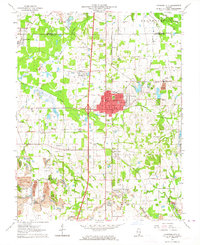
1963 Map of Johnston City
USGS Topo · Published 1964About this map
Johnston City serves as the focal point of this Southern Illinois landscape, which is heavily defined by the coal extraction industry of the mid-20th century. Large-scale mining operations like the Ziegler No 4 Mine and Freeman No 4 Mine anchor the eastern side of the survey, while extensive Strip Mine workings and a large Tailings Pond mark the surrounding terrain. This industrial footprint is interspersed with small, distinct settlements such as White Ash, Fergestown, and the colorfully named Dog Walk and Shakerag.
Find a feature on this map
63 named features on this map. Tap any name to fly to it.
Don’t see what you’re looking for? This feature index may not catch every label — zoom into the map to look around manually.
Map Details
Editions of this 1963 Johnston City Map
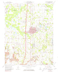
2 editions found
Other maps of this area

1909 · West Frankfort
USGS Topo · 1:62,500

1910 · Herrin
USGS Topo · 1:62,500

1922 · Carbondale
USGS Topo · 1:62,500

1925 · Marion
USGS Topo · 1:62,500

1936 · Herrin
USGS Topo · 1:62,500

1940 · Marion
USGS Topo · 1:62,500

1941 · Carbondale
USGS Topo · 1:62,500

1941 · West Frankfort
USGS Topo · 1:62,500

1949 · Paducah
USGS Topo · 1:250,000

1950 · Paducah
USGS Topo · 1:250,000