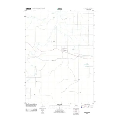
2011 Map of Johnstown
USGS Topo · Published 2011About this map
The village of Johnstown serves as the focal point of this Brown County landscape, situated along the Cowboy Trl corridor. This particular era in north-central Nebraska is defined by a sparse ranching network and sophisticated water management systems like the Ainsworth Canal, which traverses the terrain south of the town center. The community's history is anchored by the Johnstown Post Office and two distinct burial grounds: Woodlawn Cemetery and East Woodlawn Cemetery.
Find a feature on this map
20 named features on this map. Tap any name to fly to it.
Don’t see what you’re looking for? This feature index may not catch every label — zoom into the map to look around manually.
Map Details
Editions of this 2011 Johnstown Map
This is the sole edition of this map. No revisions or reprints were ever made.
Other maps of this area

1950 · Wood Lake
USGS Topo · 1:62,500

1951 · Moon Lake
USGS Topo · 1:62,500

1954 · Ainsworth NW
USGS Topo · 1:24,000

1954 · Ainsworth SW
USGS Topo · 1:24,000

1955 · O'Neill
USGS Topo · 1:250,000

1957 · Valentine
USGS Topo · 1:250,000

1959 · Valentine
USGS Topo · 1:250,000

1959 · O'Neill
USGS Topo · 1:250,000

1969 · O'Neill
USGS Topo · 1:250,000

1982 · Lost Lake Ranch
USGS Topo · 1:24,000