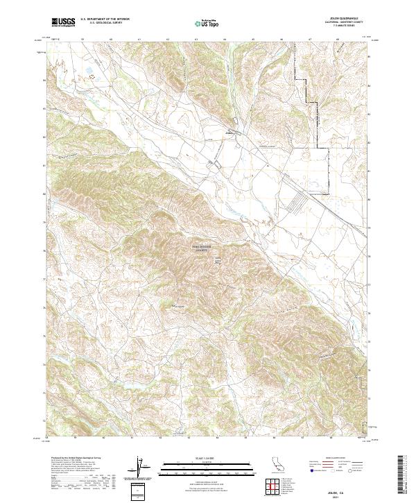
2021 Map of Jolon
USGS Topo · Published 2021About this map
Jolon serves as the primary settlement hub in this part of Monterey County, situated near the confluence of the San Antonio River and Jolon Cr. The landscape is dominated by the complex terrain of the Santa Lucia Range, which is carved by numerous drainages including Lugo Canyon, Nunez Canyon, and Ruby Canyon. These steep canyons and high points like Mesa Coyote define the difficult geography of the region, where roads like Mission Rd and Jolon Rd follow the natural contours of the river valleys. To the south, the Nacimiento River winds through the terrain, joined by tributaries such as Los Burros Cr and El Piojo Cr. The map details a network of canyons and gulches, including China Gulch and Sam Jones Canyon, illustrating a rural California landscape where development remains concentrated along the historical transit corridors linking the coast to the interior valleys.
Find a feature on this map
39 named features on this map. Tap any name to fly to it.
Don’t see what you’re looking for? This feature index may not catch every label — zoom into the map to look around manually.
Map Details
Editions of this 2021 Jolon Map
This is the sole edition of this map. No revisions or reprints were ever made.
Other maps of this area

1919 · King City
USGS Topo · 1:62,500

1919 · Junipero Serra
USGS Topo · 1:62,500

1919 · Bryson
USGS Topo · 1:62,500

1921 · Cape San Martin
USGS Topo · 1:62,500

1939 · King City
USGS Topo · 1:62,500

1941 · Cape San Martin
USGS Topo · 1:62,500

1941 · Junipero Serra
USGS Topo · 1:62,500

1941 · Bryson
USGS Topo · 1:62,500

1942 · Bryson
USGS Topo · 1:62,500

1942 · Cape San Martin
USGS Topo · 1:62,500