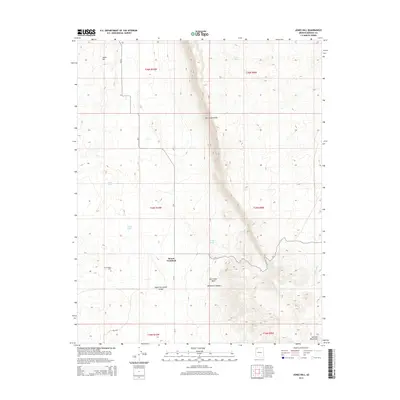
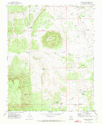
2014 Map of Jones Hill
USGS Topo · Published 2014About this map
Hurricane Cliffs dominate this portion of the Arizona Strip, creating a massive vertical divide between the high plateaus and the lower desert basins. The small settlement of Mount Trumbull sits at the base of its namesake mountain, serving as a remote outpost in a landscape defined by significant elevation changes and seasonal water sources. Local history is anchored at the Mt Trumbull Cem, while the surrounding terrain is carved by the deep Whitmore Canyon and the expansive Upper Hurricane Valley.
Find a feature on this map
22 named features on this map. Tap any name to fly to it.
Don’t see what you’re looking for? This feature index may not catch every label — zoom into the map to look around manually.
Map Details
Editions of this 2014 Jones Hill Map
This is the sole edition of this map. No revisions or reprints were ever made.
Other maps of this area

1886 · Mt. Trumbull
USGS Topo · 1:250,000

1892 · Mt. Trumbull
USGS Topo · 1:250,000

1953 · Grand Canyon
USGS Topo · 1:250,000

1957 · Grand Canyon
USGS Topo · 1:250,000

1958 · Grand Canyon
USGS Topo · 1:250,000

1960 · Grand Canyon
USGS Topo · 1:250,000
1967 · Mt. Trumbull NW
USGS Topo · 1:24,000
1967 · Mount Logan
USGS Topo · 1:24,000
1971 · Moriah Knoll
USGS Topo · 1:24,000
1971 · Poverty Knoll
USGS Topo · 1:24,000