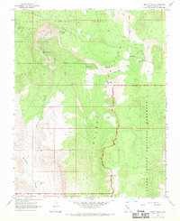
1967 Map of Mount Logan
USGS Topo · Published 1971About this map
Sawmill Mountains and the volcanic peaks of the Uinkaret plateau dominate this mid-century survey of Mohave County. High-altitude landmarks like Mount Logan and Mt Emma rise above a landscape defined by dramatic geological depressions such as Hells Hole and Hells Hollow. The map documents a sparse human presence focused on livestock and seasonal water, noted by the presence of Arkansas Ranch and Woods Ranch alongside small reliable points like Little Spring and Big Spring. To the west, the deep drainage of Whitmore Canyon cuts through the terrain, while the northern section reveals the unusual Lava Aqueduct. This survey captures the region just as it transitioned into more formal federal management, overlapping the boundaries of the Kaibab National Forest, Grand Canyon National Monument, and the northern reaches of the Lake Mead National Recreation Area.
Find a feature on this map
22 named features on this map. Tap any name to fly to it.
Don’t see what you’re looking for? This feature index may not catch every label — zoom into the map to look around manually.
Map Details
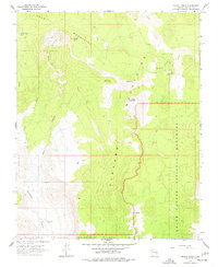
Editions of this 1967 Mount Logan Map
2 editions found
Other maps of this area

1886 · Mt. Trumbull
USGS Topo · 1:250,000

1892 · Mt. Trumbull
USGS Topo · 1:250,000

1953 · Grand Canyon
USGS Topo · 1:250,000

1957 · Grand Canyon
USGS Topo · 1:250,000

1958 · Grand Canyon
USGS Topo · 1:250,000

1960 · Grand Canyon
USGS Topo · 1:250,000
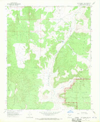
1967 · Mt. Trumbull NE
USGS Topo · 1:24,000
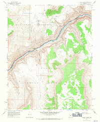
1967 · Vulcans Throne
USGS Topo · 1:24,000
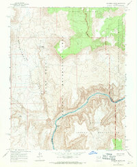
1967 · Whitmore Rapids
USGS Topo · 1:24,000
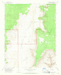
1967 · Mt. Trumbull SE
USGS Topo · 1:24,000